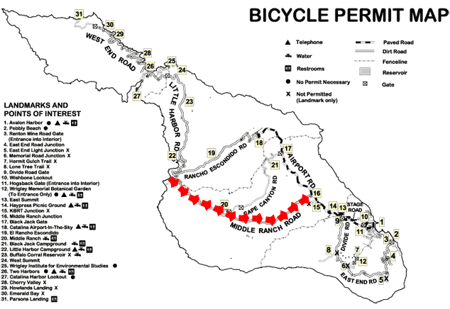
|
Photos taken April 27, 2008. Last updated May 9, 2008
I covered this road on a bicyle, leaving from Little Harbor and proceeding to Airport Road.
The first half of the this section, from Little Harbor to Middle Ranch, is extremely scenic as it
traverses hills and ravines just inland from the coast. There are outstanding views of Little Harbor as
you leave Little Harbor, and as you proceed you pass numerous ravines and canyons with secluded beaches visble along the coast.
The road generally goes up, often steeply, but there are also numerous downgrades, making this road an up-and-down route.
Unless you are an experienced cyclist with advanced hill-climbing skills, you will not be able to bike up these hills.
Even walking up many of the grades is tiresome. But the views are amazing, so frequent stops are no problem.
Due to the difficulty of the route, it took me about two-and-a -half hours to cover the 5 miles to Middle Ranch, and I was beginning to become
concerned that I would not be able to make it to Avalon before dark (I departed Little Harbor at 1:15.) Fortunately
the road became mostly flat after Middle Ranch, traversing through a canyon with classic California
views. The final approach to Airport Road is a steep climb which required walking.
As with all of California, the landscape is so much nicer when the grass is green. These photos were taken in late April, just
as the green season was ending and the brown season was beginning.
These photos start at Little Harbor on the Pacific and proceed to Airport Road.
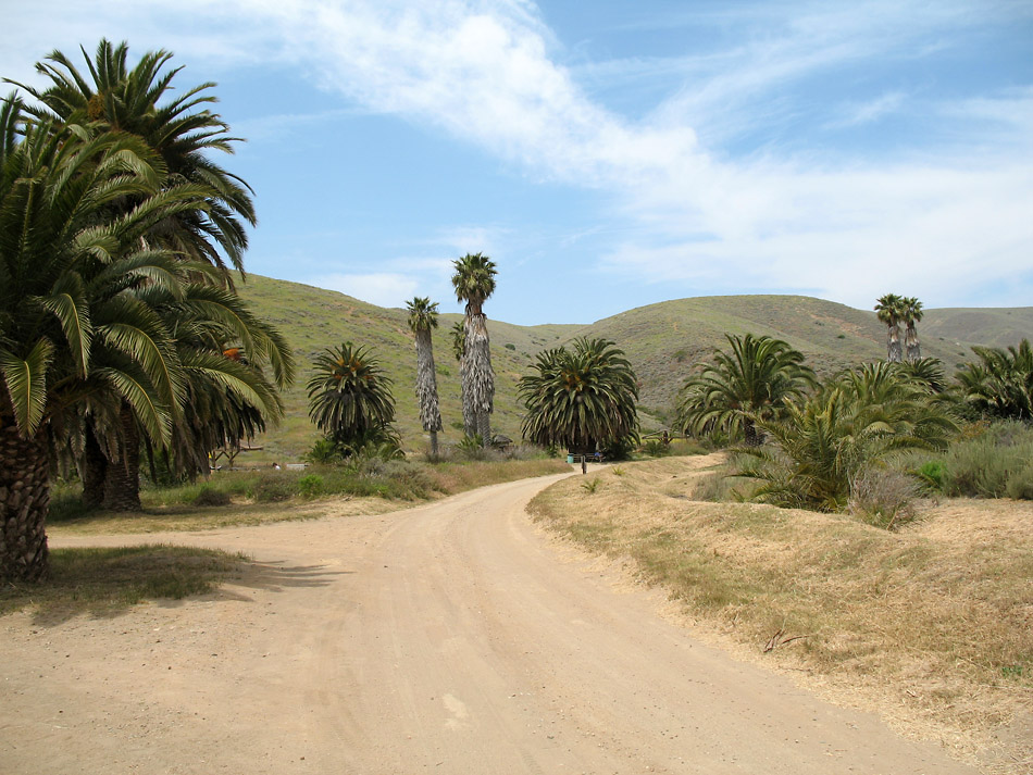
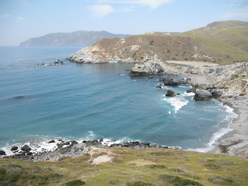
The road at Little Harbor. There is a campsite here and beach access.
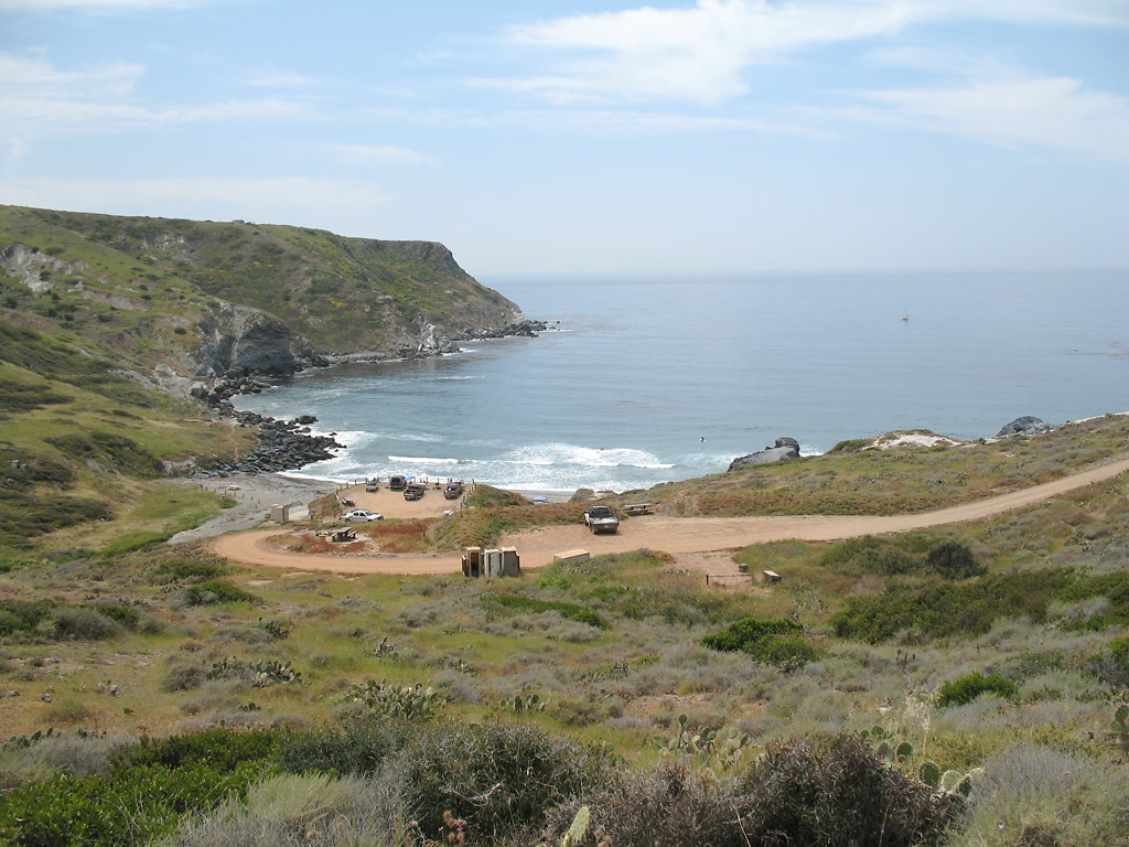
View of the surfing area.
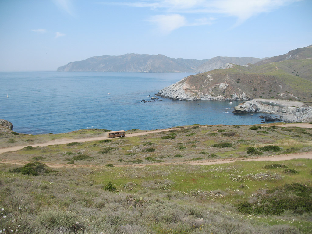
The Safari bus is proceeding downhill toward Little Armor.
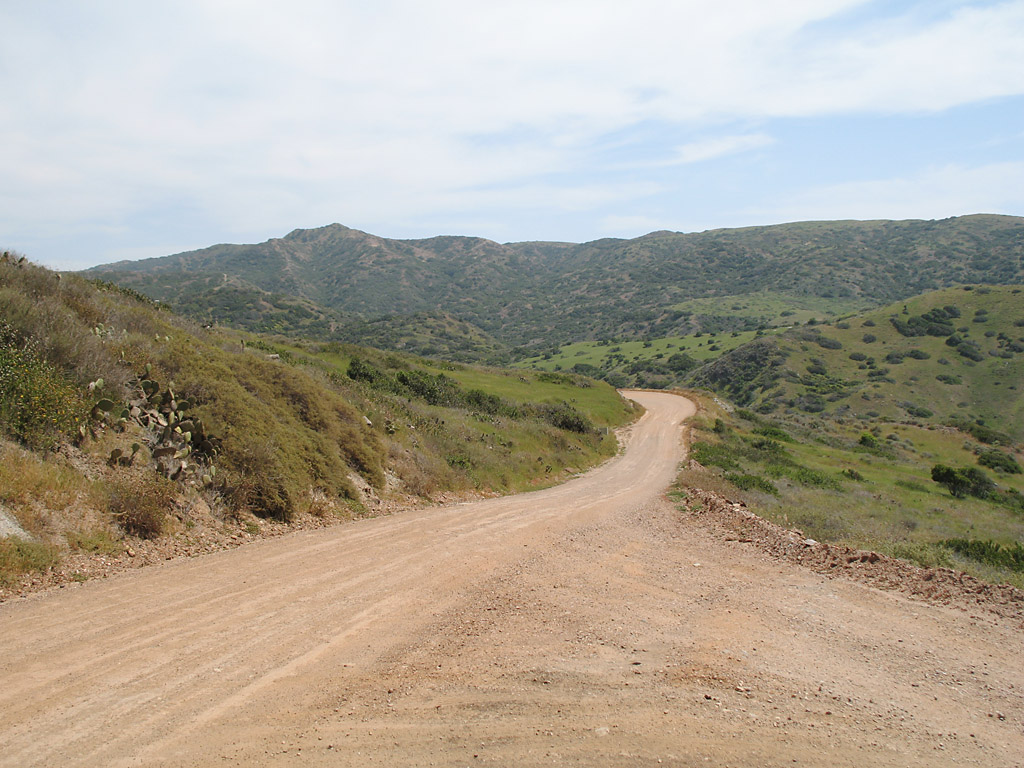
The road proceeds up from Little Harbor.
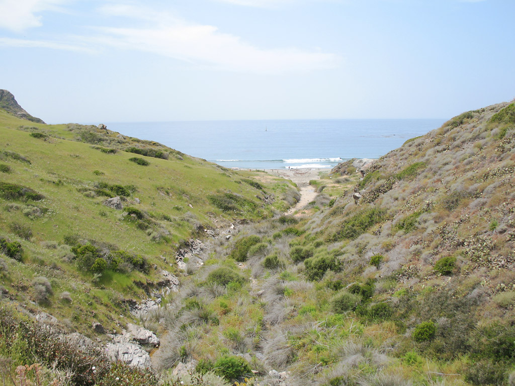
This ravine ends at a small beach on the Pacific.
The road goes downhill after the uphill climb.
Looking toward the mountains, with the road (barely) visible.
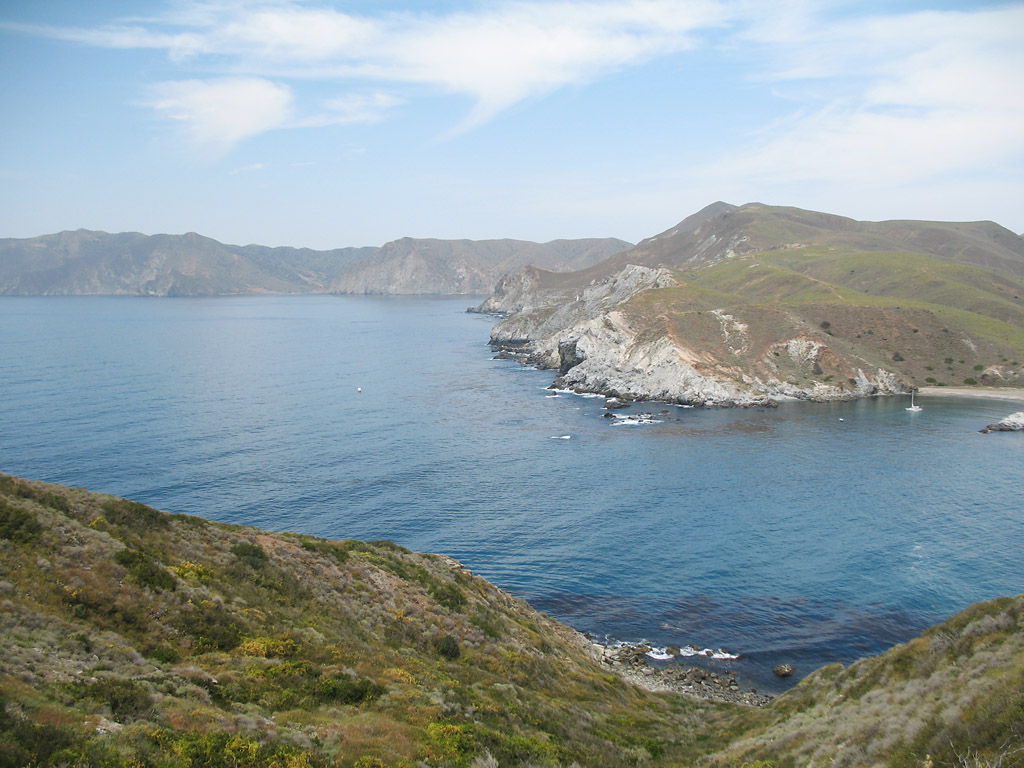
Another view of the coast.
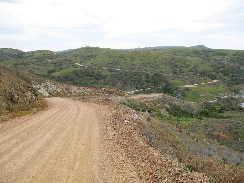
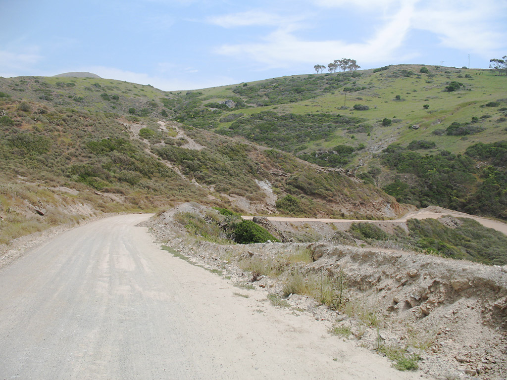
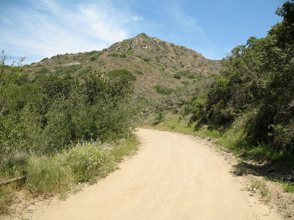
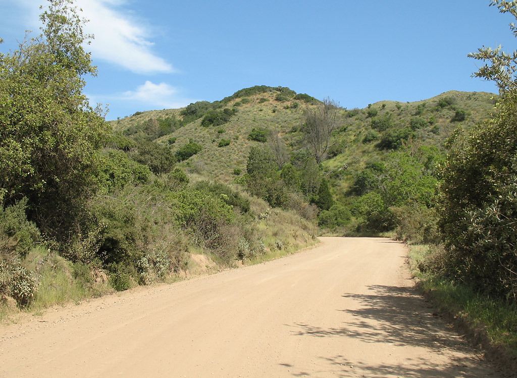
The road winds up the hillsides here.
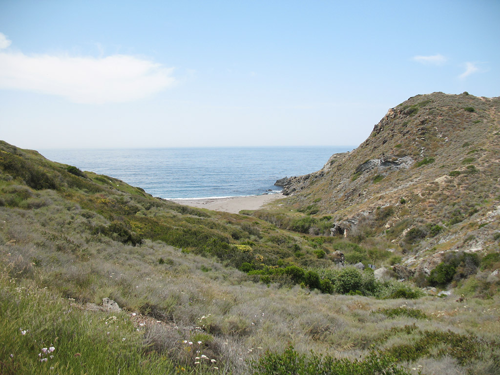
Another ravine ending in an isolated beach.
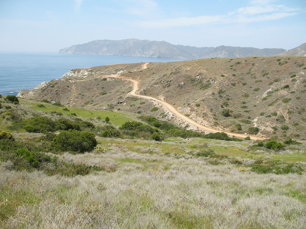
Best photo of the trip
A view of the road
Looking inland
There was still green grass on April 27. California landscapes are *so* much nicer when the grass is green.
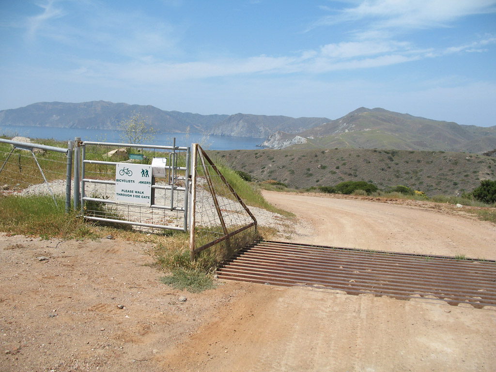
Here is the fenceline.
Here the road veers inland.
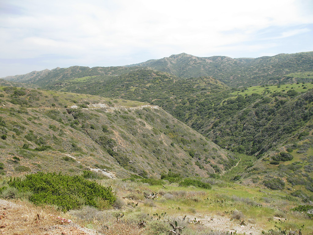
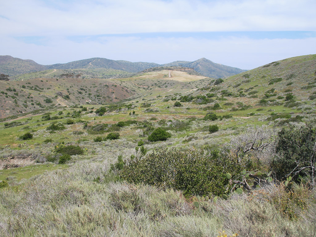
Looking inland with a canyon.
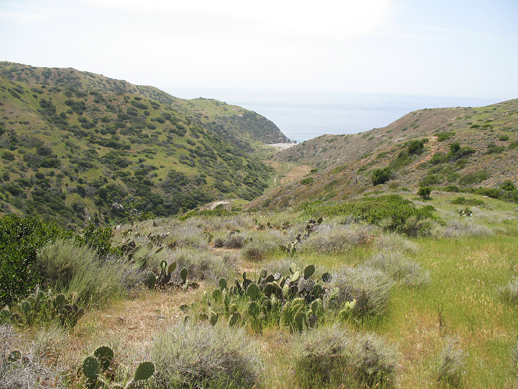
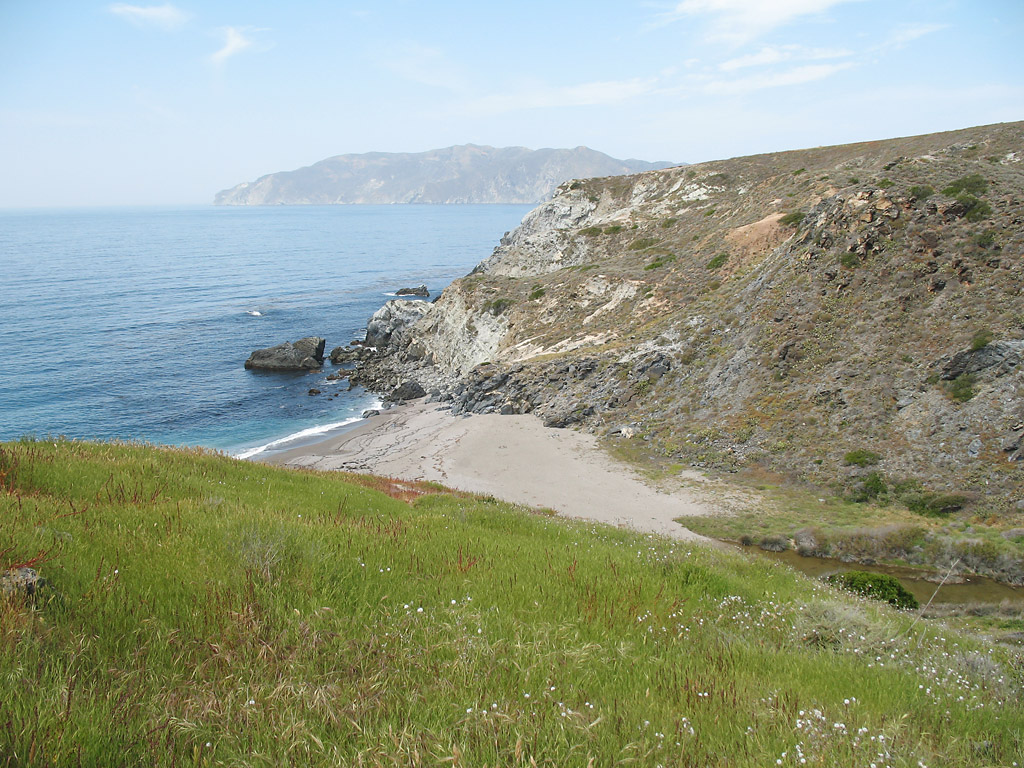
One of the last views of the ocean before heading inland.
This view shows how the road goes down and then back up, making biking extra challenging.
The road passes through some thicker foliage in the canyon.
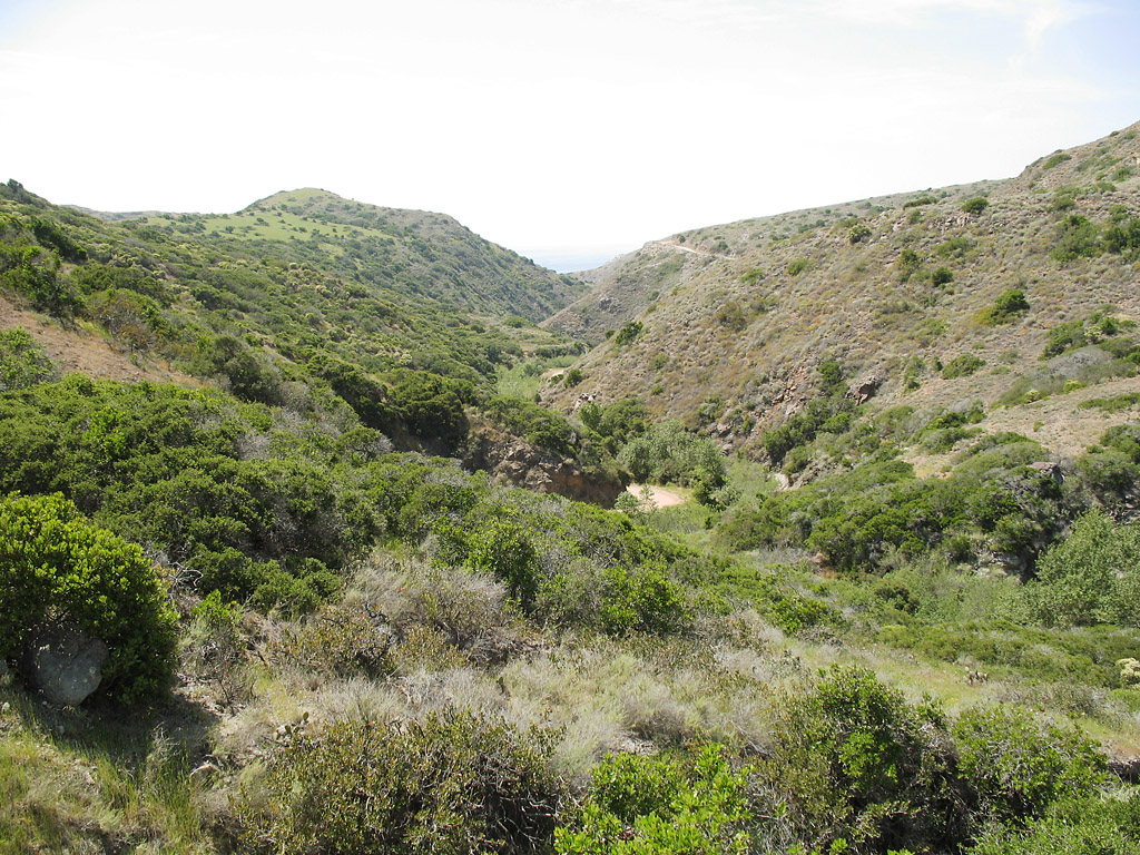
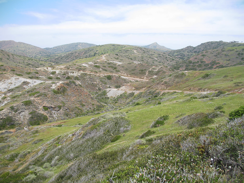
Another canyon, with the road just barely visible.
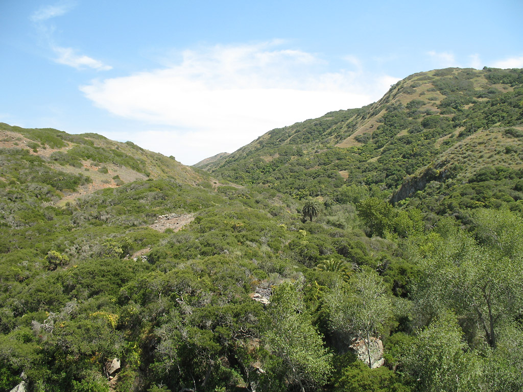
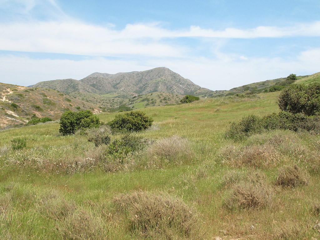
Classic California coastal landscape.
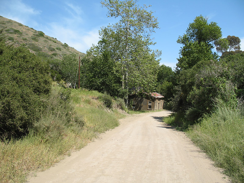
Abandoned building along the road.
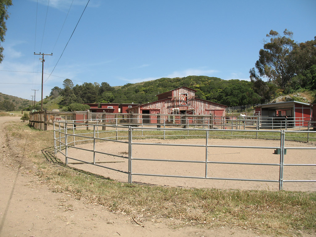
Middle Ranch. The ranch appears to serve horses only. Reaching this point was a major milestone after about 6 miles of up-and-down biking.
At this point I was worn out and I wasn't sure if I could make it to Avalon before dark if the road continued its up-and-down elevation changes.
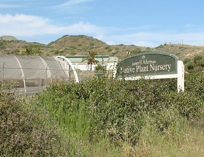
Native plant nursery near Middle Ranch.
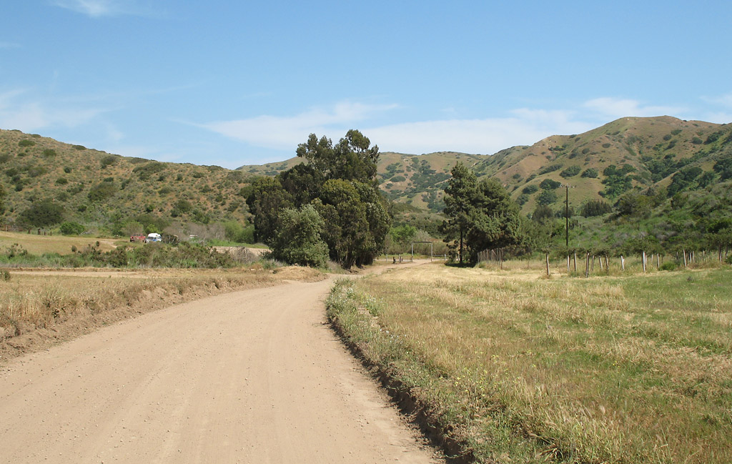
Leaving the Middle Ranch area, with a classic coastal California landscape ahead. The road is now mostly flat, which was a huge relief.
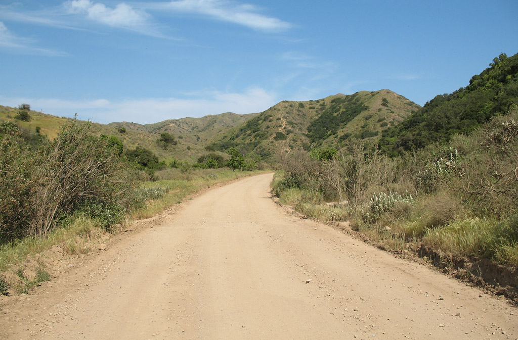
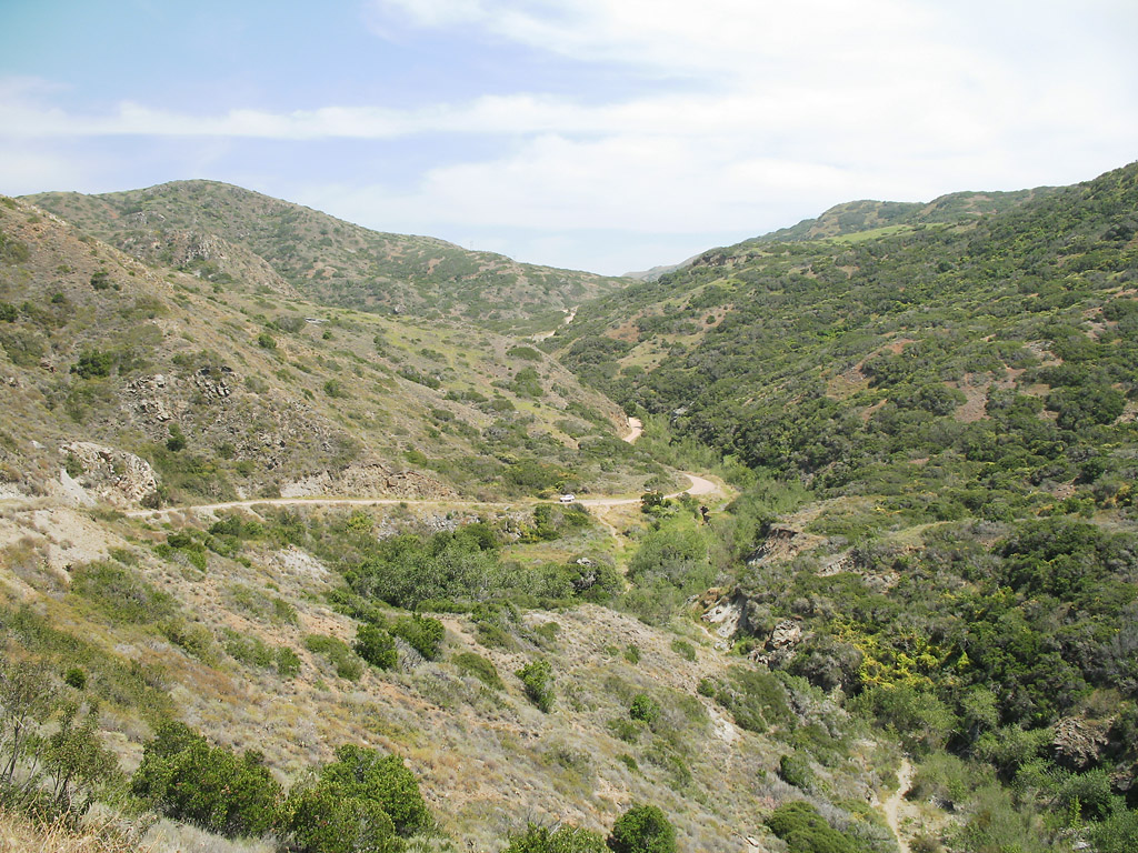
Proceeding through the canyon.
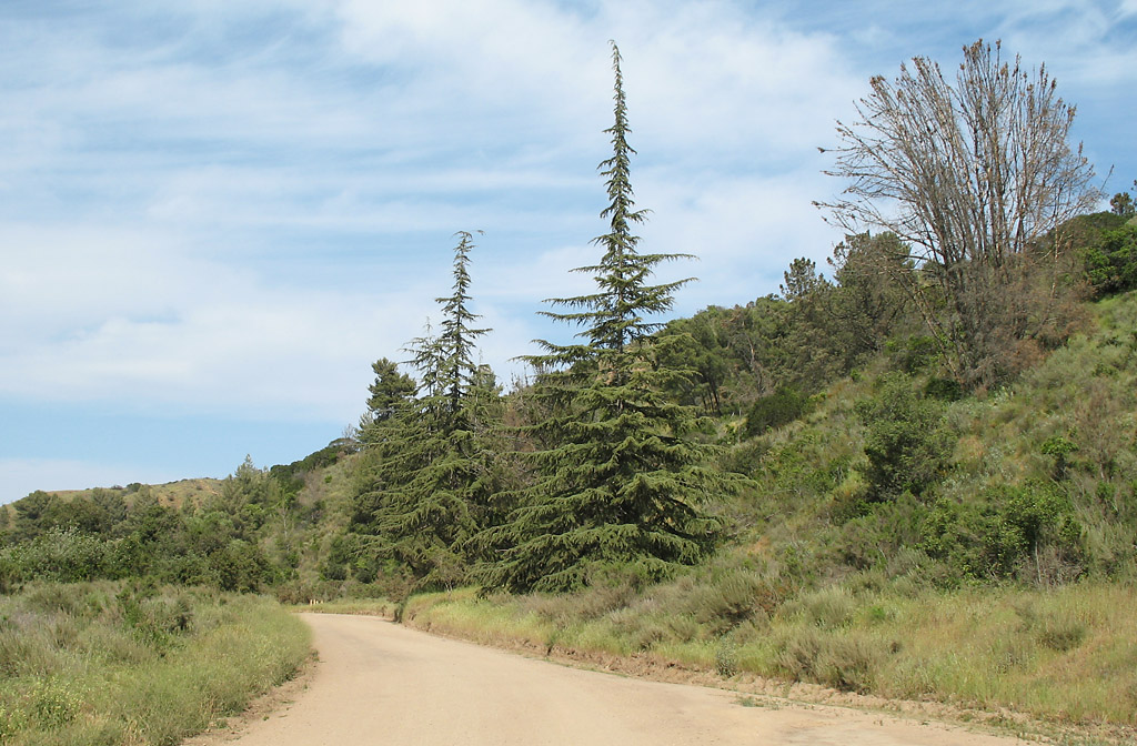
These conifer/pine trees seem out of place.
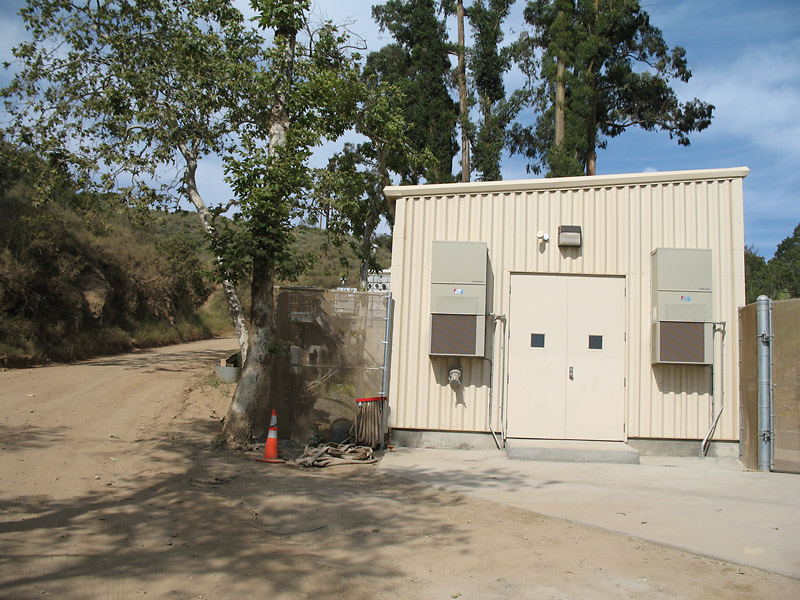
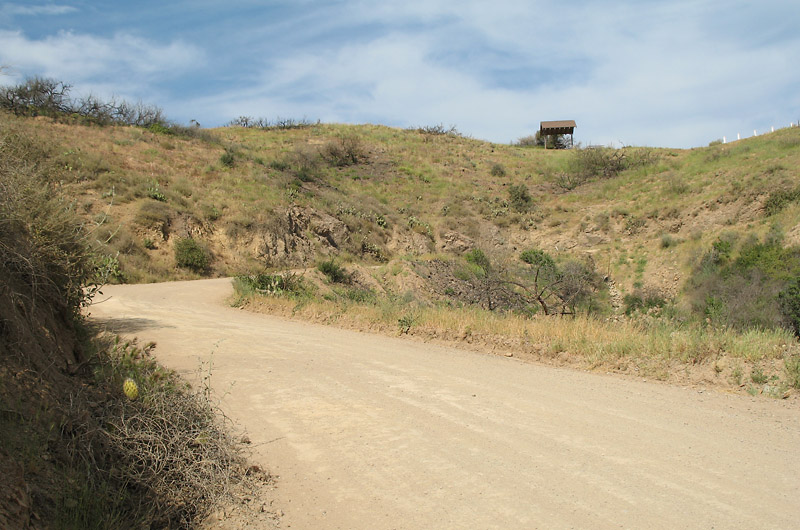
There is a pump station along the road. This indicates the final climb to Airport Road is starting. And it is a tough climb.
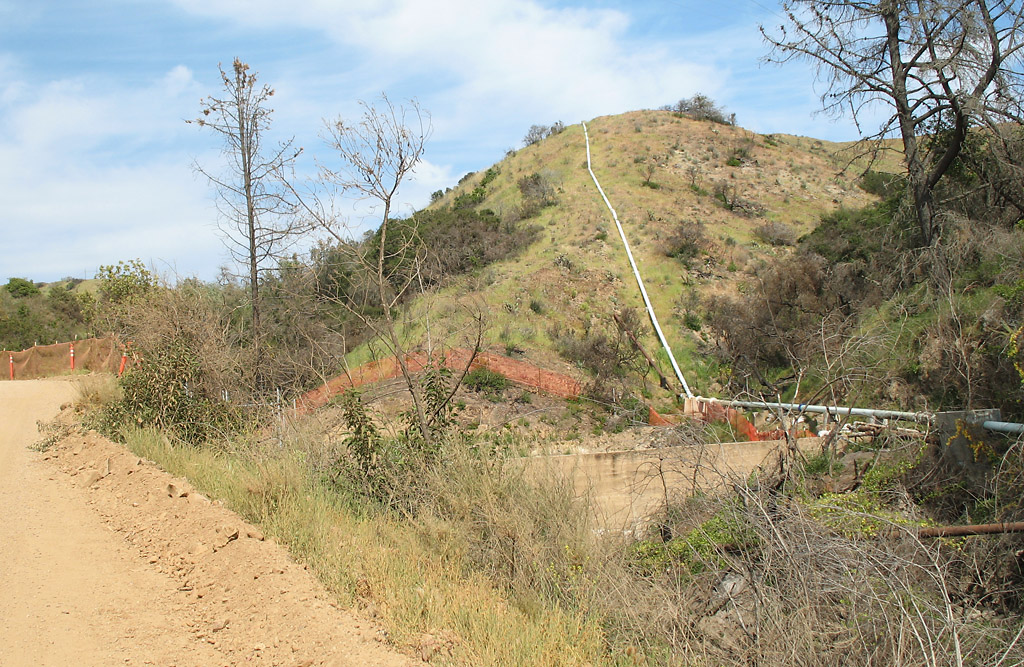
The pipeline is visible in this photo.
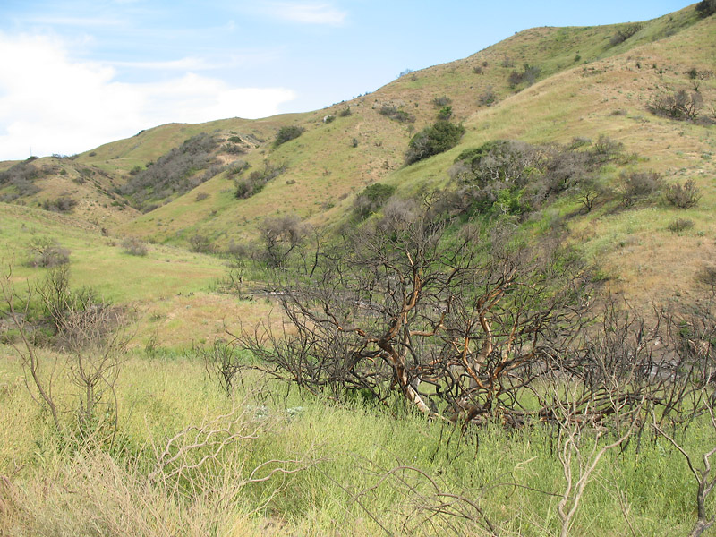
Evidence of fire.
Something is ahead. Could that be Airport Road?
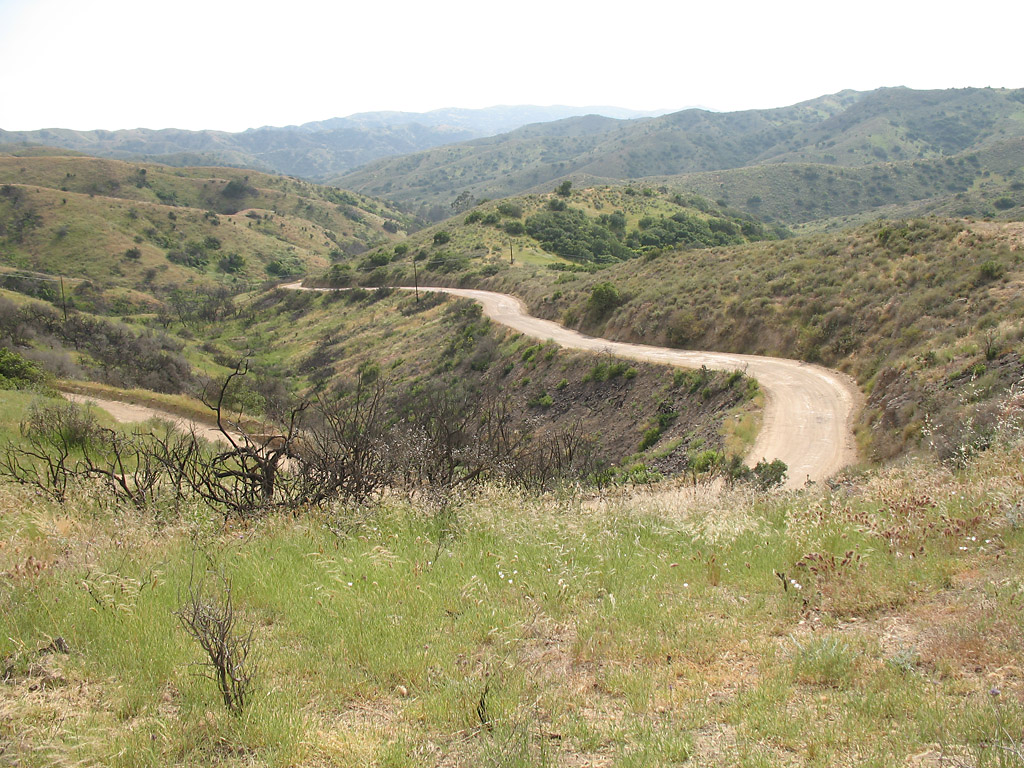
Looking into the canyon from the picnic table in the previous photo, showing Middle Ranch road.
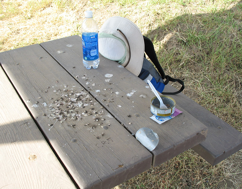
Time for a break and a snack. The birds had used this table before me.
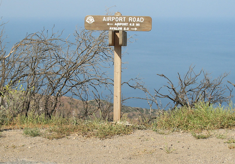
At Airport Road. This point is about halfway between Avalon and the Airport, showing 4.8 miles to the airport and 5 miles to Avalon.
Airport Road is on the ridgeline so the road to Avalon was downhill and a short up-and-down section.
|