Last updated February 9, 2005
Photos taken on January 11, 2005.
These photos were taken heading eastbound from El Paso.

From El Paso to about 110 miles east of El Paso, I-10 has been reconstructed with new concrete.
Most of the concrete appears quite new. I don't remember the concrete when I last drove on this
section in 1993, so I'm thinking most of the work was done between 1993 and 2004.

At the Hudspeth county line about 45 miles east of El Paso, the speed limit goes up to 75 mph.
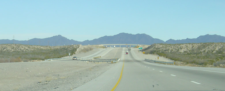
A typical view just after crossing into Hudspeth county.
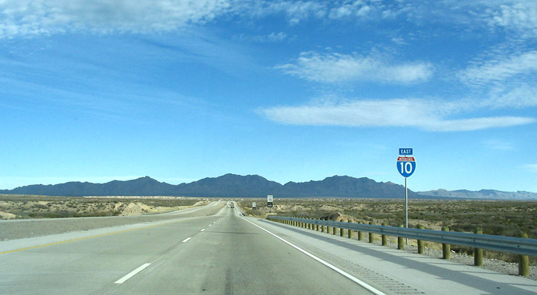
A typical view showing an I-10 shield.
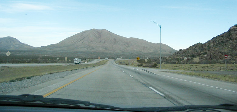
A typical view.

This view looks east from the overpass at exit 87. The concrete pavement stops at this point, but
it resumes a few miles ahead and continues to mile marker 130.

The border patrol inspection stop is near mile marker 100.
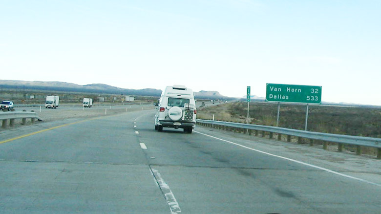
At mile marker 108. Notice that the control city is Dallas even though I-10 does not go to Dallas.

Another mileage sign with Dallas.

Notice the yellow sign just ahead. It shows a side street intersection on the Interstate.
I noticed only two such intersections going eastbound.

A closer (but unfortunately blurry) view of the intersection sign.

At the Van Horn City limit, mile marker 138.

Overhead sign at exit 140 in Van Horn.

26 miles from the I-20 split.

Interstate 10 shields.
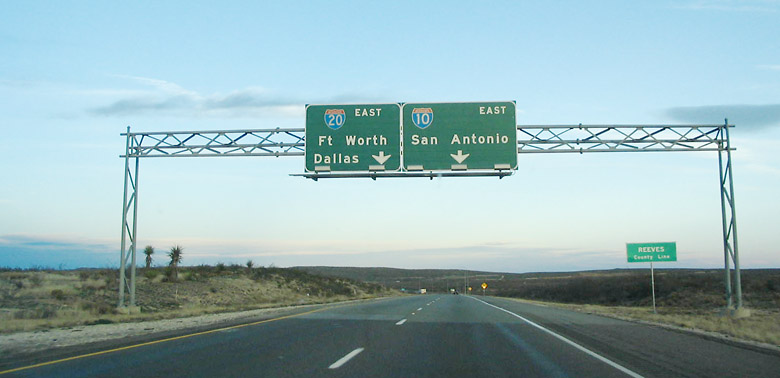
Approaching the I-20 split.

At the I-20 split.