Last updated February 8, 2005
Photos taken on January 11, 2005.
I did a major report on El Paso in 2001 when I ran TexasFreeway.com. See 2001 photos.
On this trip we spent about 2 hours in El Paso on a drive-through. Here are the photos.
El Paso is a unique and interesting place, and it is fair to say that beauty is in the eye of the beholder. No other large city in the United States is so closely nestled next to Mexico. And Juarez City, Mexico, is certainly no scenic mecca, especially the shantytowns which are visible along the Rio Grande. The smelter smokestack on the US side has an imposing presence. Most of El Paso is a low income area, which typically results in poor appearance.
On the plus side, the major highways around El Paso are quite good. The Franklin mountains on the north side of the city are scenic. There are plenty of parts of town with a good appearance (mainly northwest). And I have been informed that there are very nice areas in El Paso.
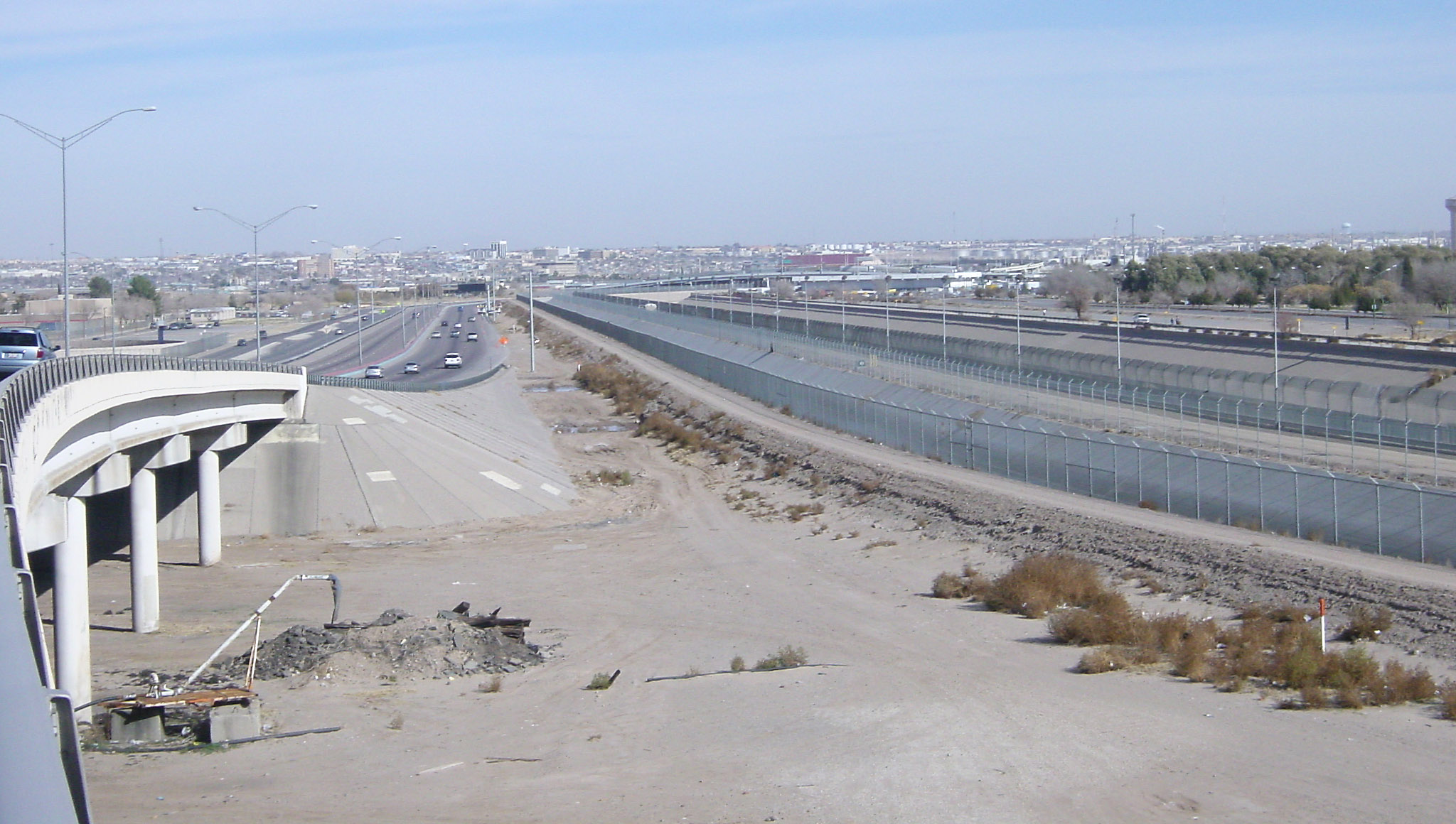
(Click for high resolution) This shows the US-Mexico border along the Loop 375 border
highway just east of downtown. You may need to bring up the high resolution view to see the detail.
Moving from left to right, this view shows the Loop 375 freeway, fence #1, the channel with the
Rio Grande, fence #2, dirt road for border patrol, fence #3, the Rio Grand floodway, then Mexico.
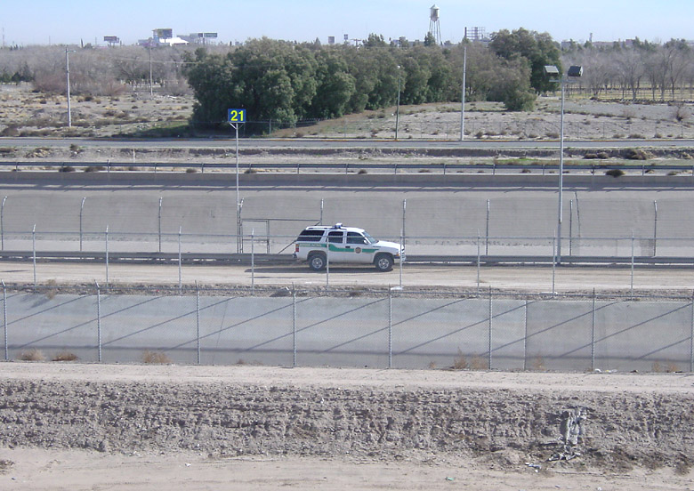
There were plenty of border patrol vehicles around, including this one on the dirt road between
the river channel and floodway. Also notice the lights which I assume are on all night.
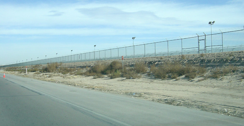
Here is another view along the border highway with fences and lights.
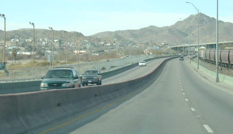
This view is along the border highway north of downtown, headed northbound. This is a grim area
called Smeltertown and the Mexico side is a shantytown/slum. Notice the floodlights.
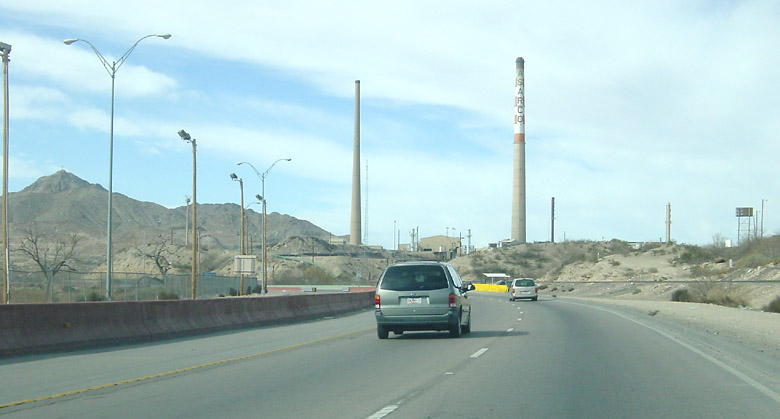
A little further north we approach the Asarco smelter, which has been inoperative since 1999. Apparently
this is an environmental issue right now since Asarco allegedly contaminated hundreds of yards
with lead and arsenic.
We get back on I-10 and head north (westbound) for a short distance. This is the intersection
at Sunland.
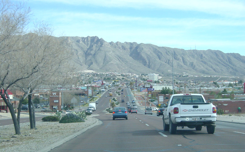
We head back into town on highway 20, which is an urban boulevard.
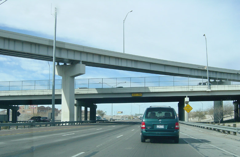
This is Interstate 10 through downtown El Paso, going east.
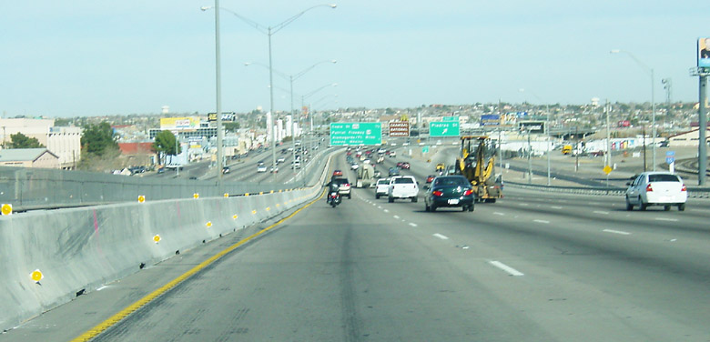
This is Interstate 10 just east of downtown, which is a 10-lane section.
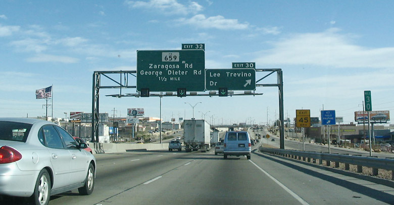
Further east is Lee Trevino Boulevard. Lee Trevino is a native of Dallas.
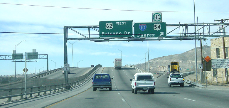
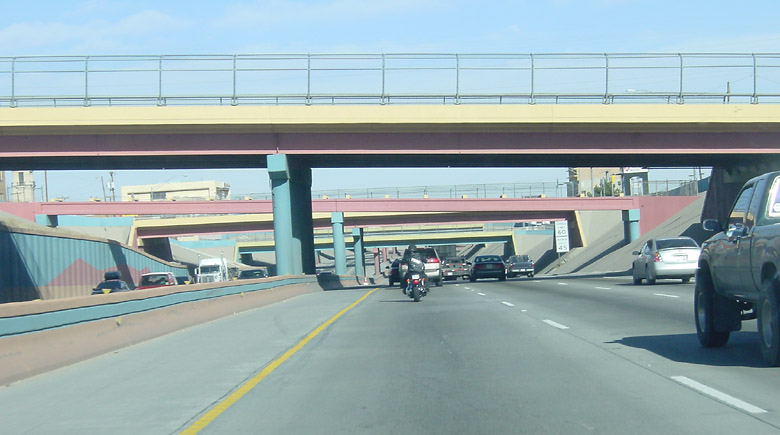
Back in the downtown area, this is US 62 where it crosses US 54 just south of I-10.
Barely visible on the right side of the photo is a sign warning motorists not to take
firearms into Mexico.
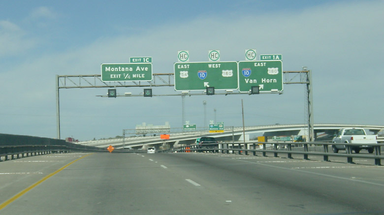
This is US 54 northbound approaching I-10.
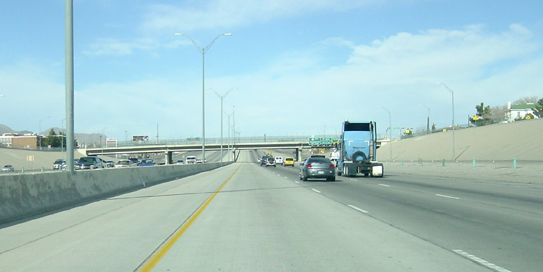
This is US 54 northbound just north of I-10. This is a very high-capacity freeway with around 12 lanes and for now
is way overpowered.
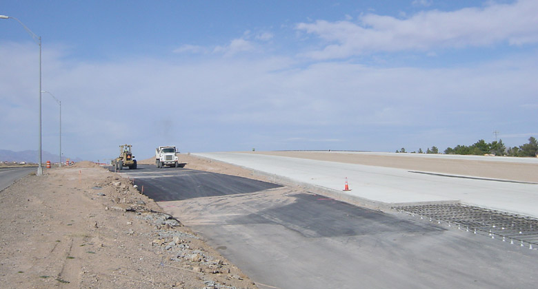
North of Loop 375, contruction is progressing well on the extension of the US 54 freeway.
The extension of a few miles looks like it will be open this year.
![]()
We now take Loop 375 westbound, the Trans-Mountain highway.
![]()
A view going westbound on the Trans-Mountain highway.
![]()
The Trans-Mountain highway reaches 5280 feet at its highest point. The wind was incredibly strong
at this point - it seemed like hurricane force.
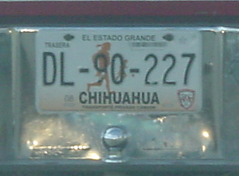
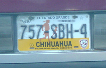
Here are a couple Chihuahua license plates, which are all over the place in El Paso.