Last updated February 6, 2005
Photos taken on January 8 and 9, 2005. Weather conditions were very cloudy and foggy south of Houston, so photos are limited.
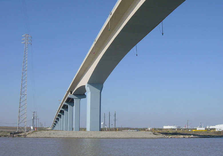
This is the new bridge crossing the intracoastal waterway at Quintana. I think it opened in
late 2003 or early 2004. All evidence of the previous floating pivot bridge is gone.
For a full report on the previous crossing, see
TexasFreeway.com.
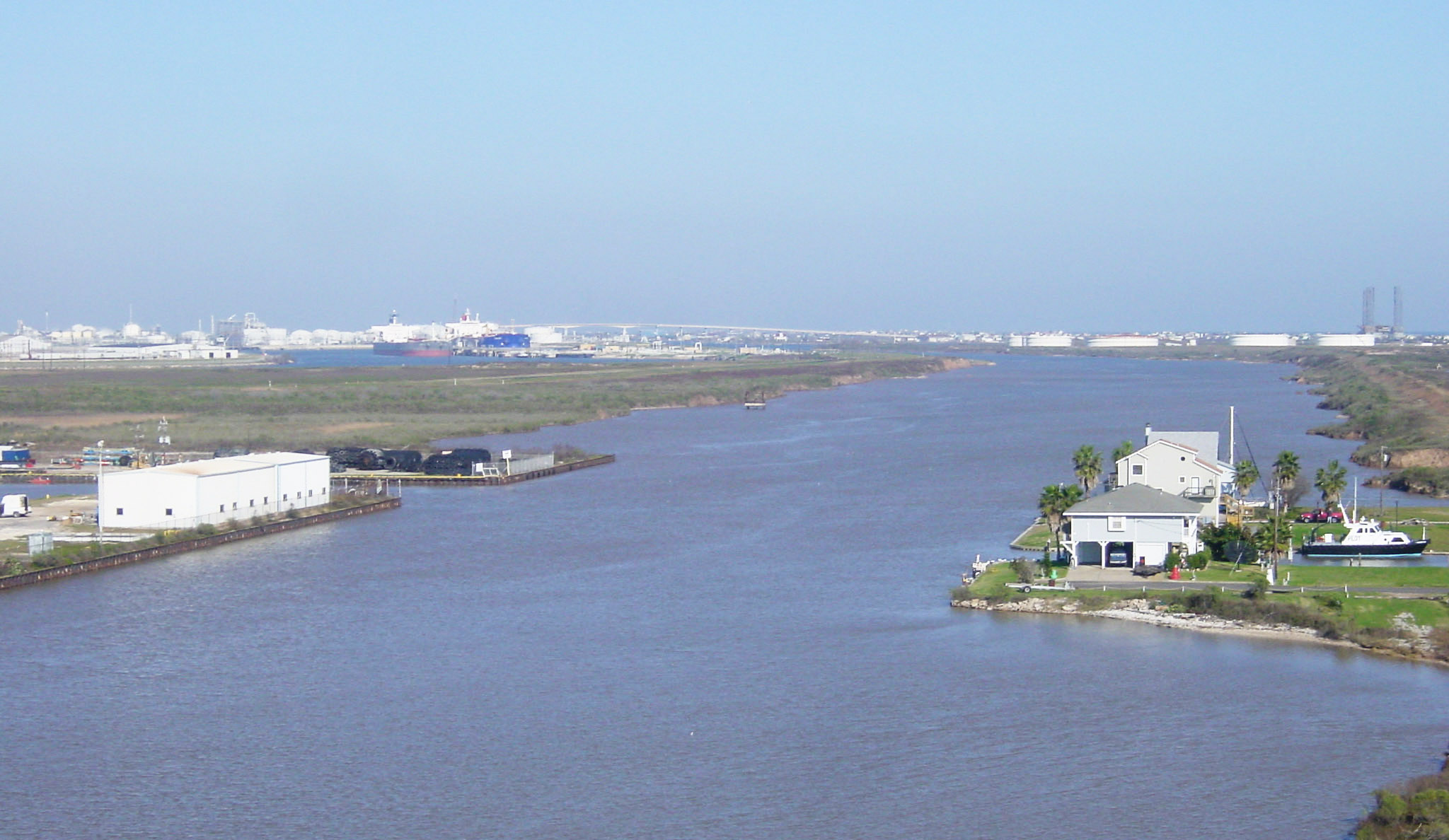
(Click for high resolution) Here is a view looking east from the top of the bridge,
showing the Intracoastal Waterway and Freeport.
In the distant background the similar bridge to Surfside can be seen. The Surfside bridge was constructed in the
late 1990s.
(Click for high resolution)
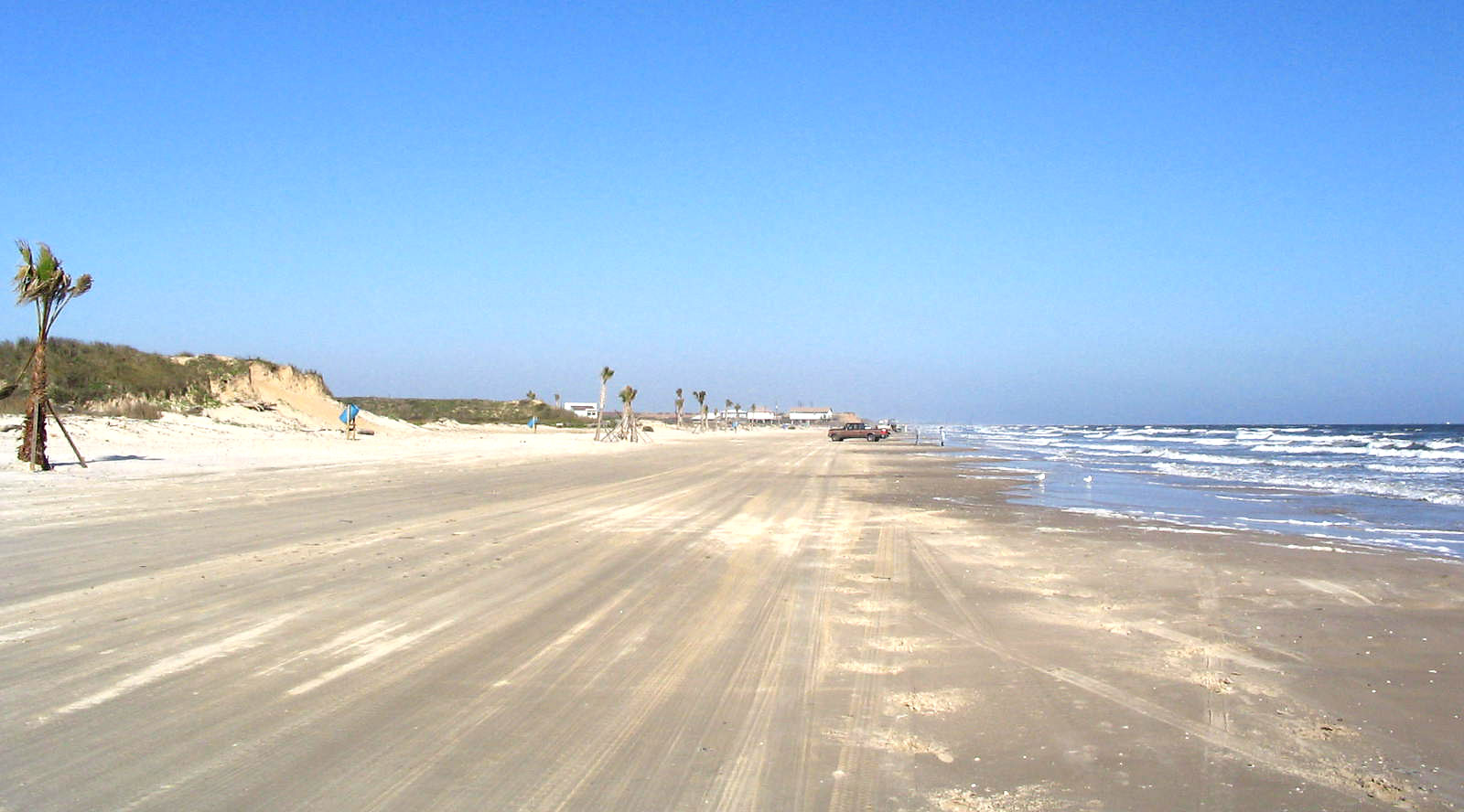
This view shows the beach at Quintana. There have been some efforts to enhance the beach, including
dune restoration and the planting of palm trees.
(Click for high resolution)
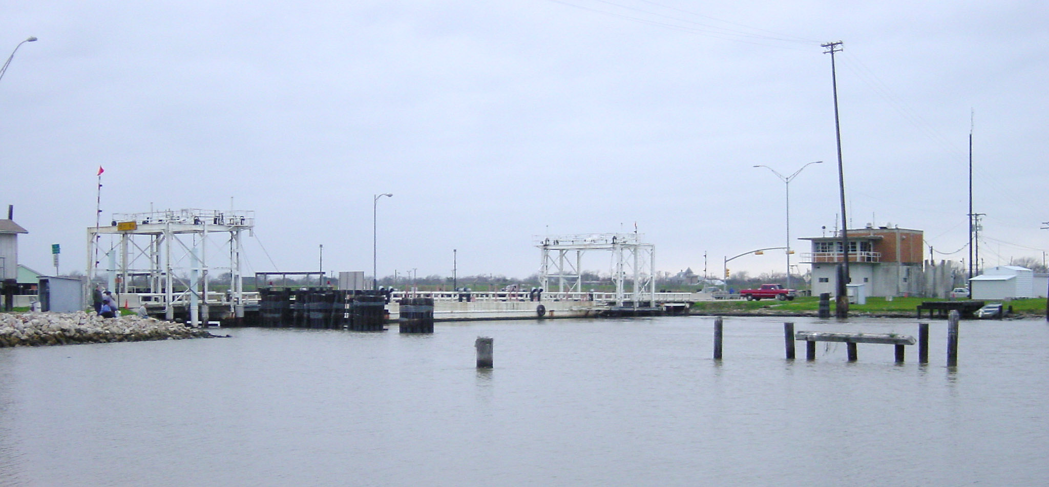
South of Quintana, the clouds became thick. With the removal of the Quintana floating pivot bridge,
you now have the drive to Matagorda to see one. This floating pivot bridge crossing is on route 60.
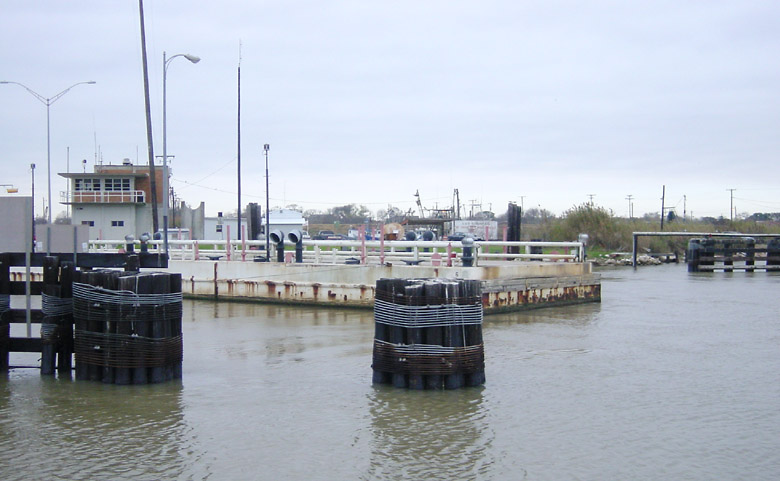
Here is a view of the bridge being pivoted to allow a vessel through.
Now we are in Corpus Christi, with thick clouds and mist.
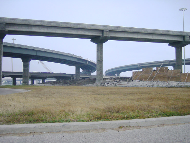
The new stack at the intersection of Routes 358 and 286 is nearing completion.
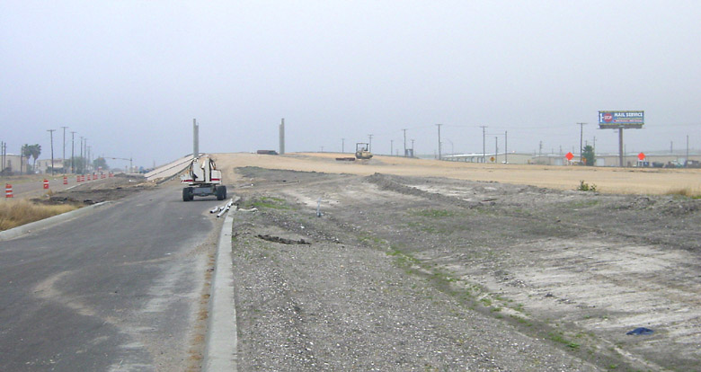
The extension of the Crosstown Freeway (Route 286) is about 50% complete.
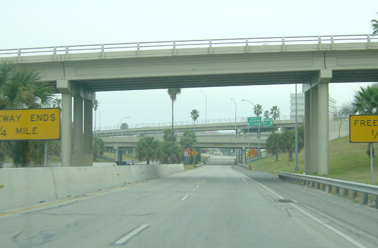
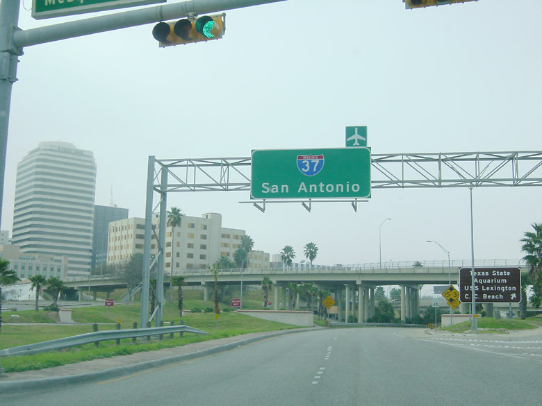
This is the terminus of I-37 going southbound at downtown Corpus Christi.
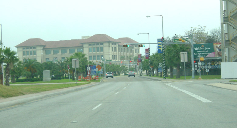
This is the first traffic light after the freeway ends.
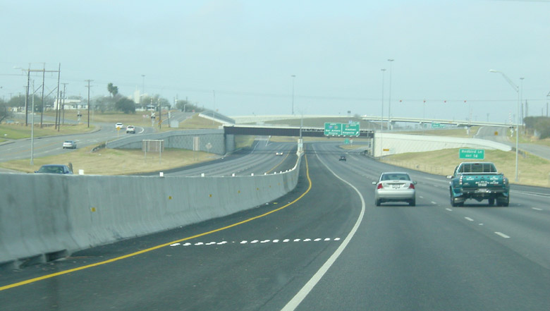
Going northbound, this is how I-37 begins.
Going northbound on I-37 approaching the US 77 interchange.
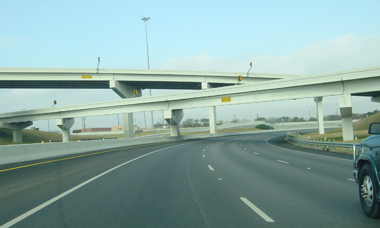
At the US 77 interchange.
North of the interchange, there is a short section where I-37 and US 77 are multiplexed.
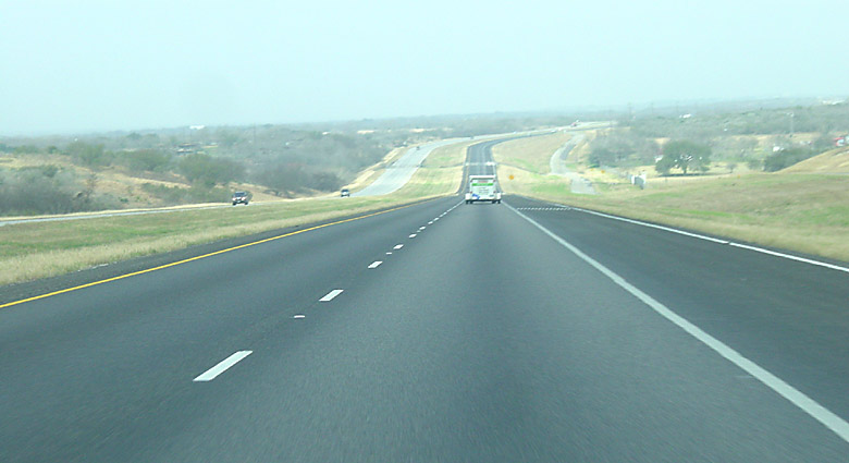
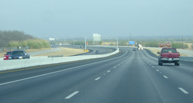
This is a typical view of I-37 north of Corpus.
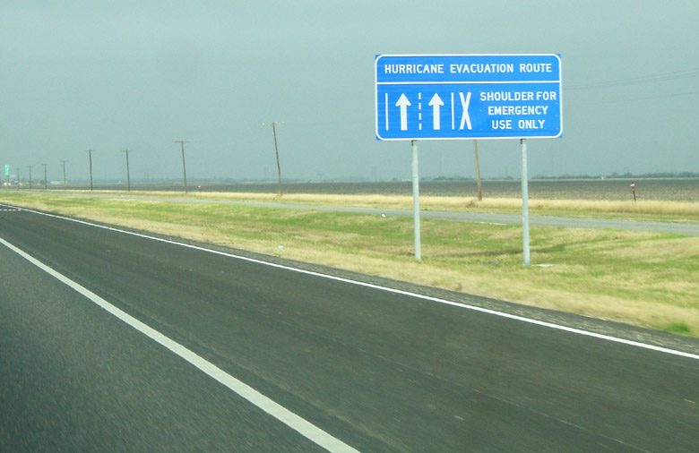
The shoulder is intended for vehicle use during hurricane evacuations. Signs like this one are
regularly placed along the highway to about 50 miles outside of town.