January 8-10, 2007
Last updated January 17, 2007
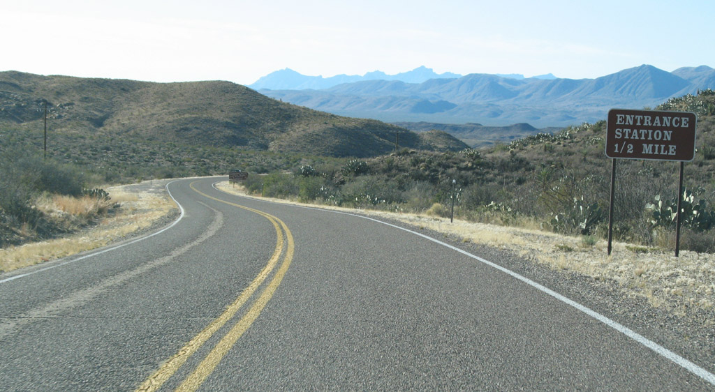
Approaching the park entrance on US 385
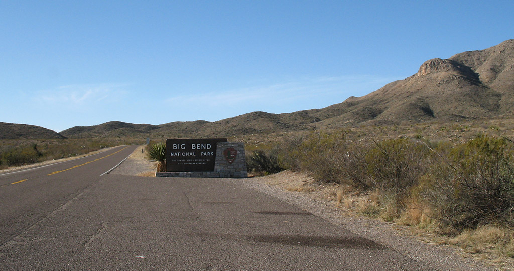
US 385 entrance
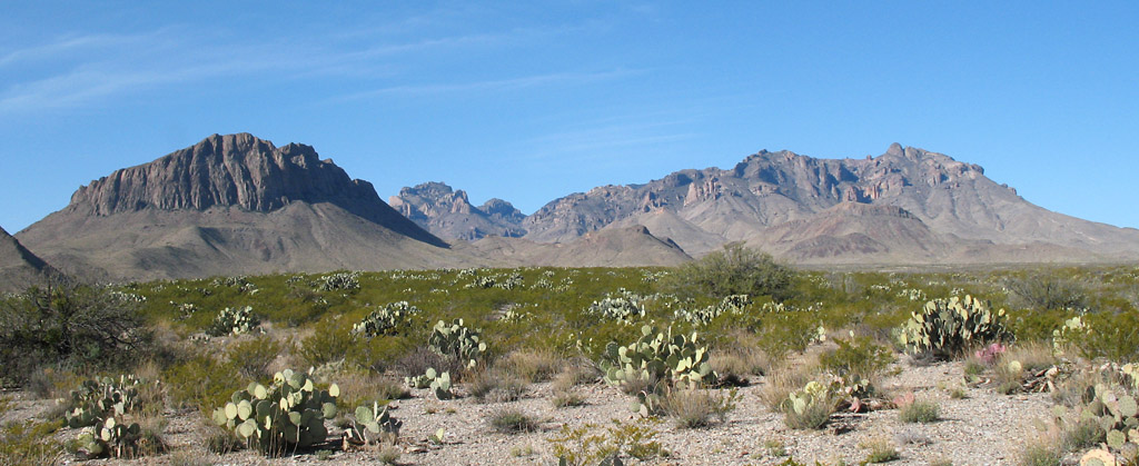
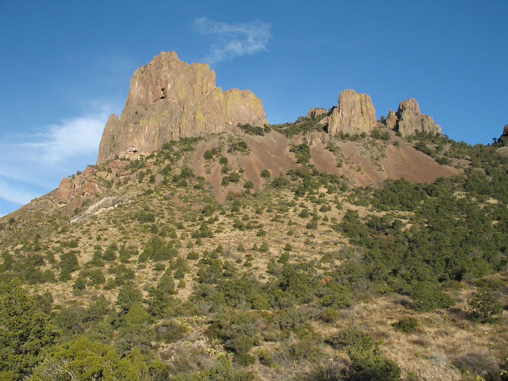
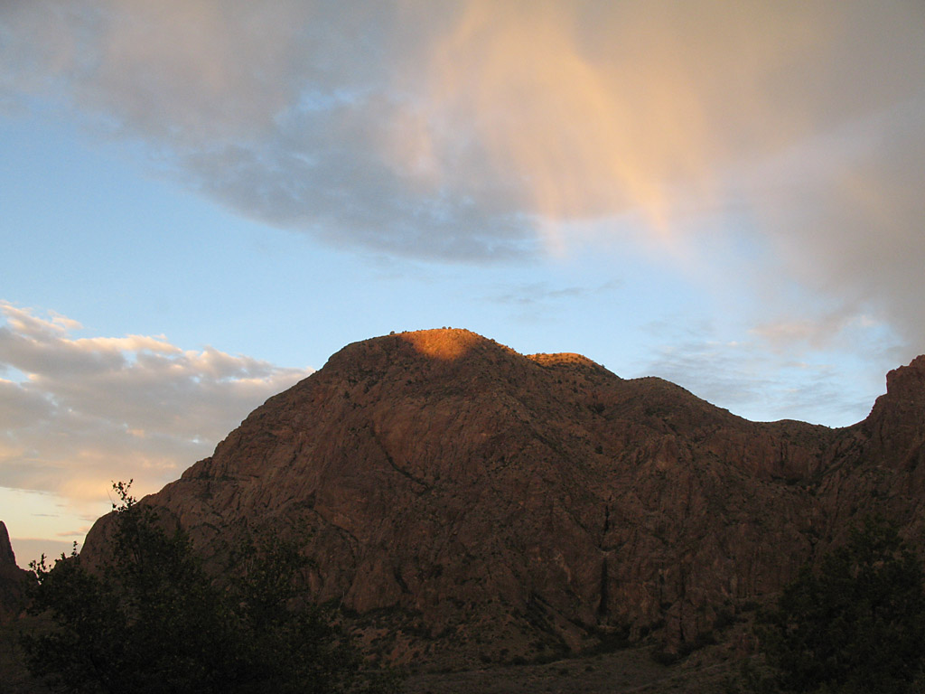
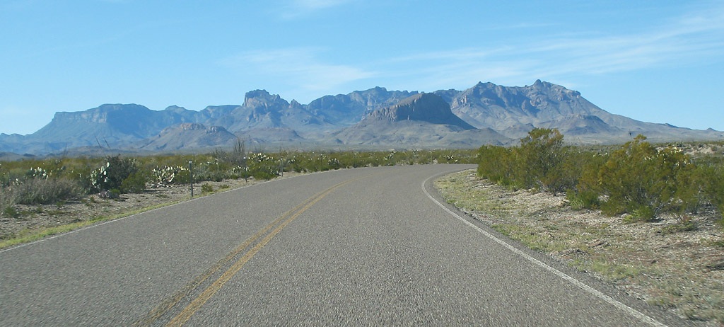
The Chisos mountains in the center of the park
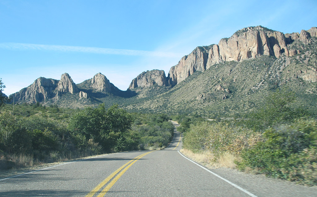
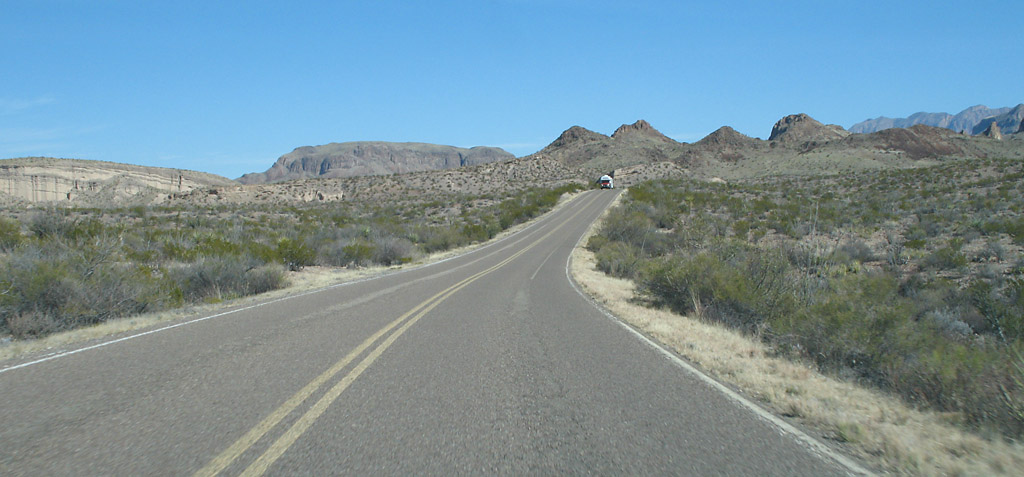
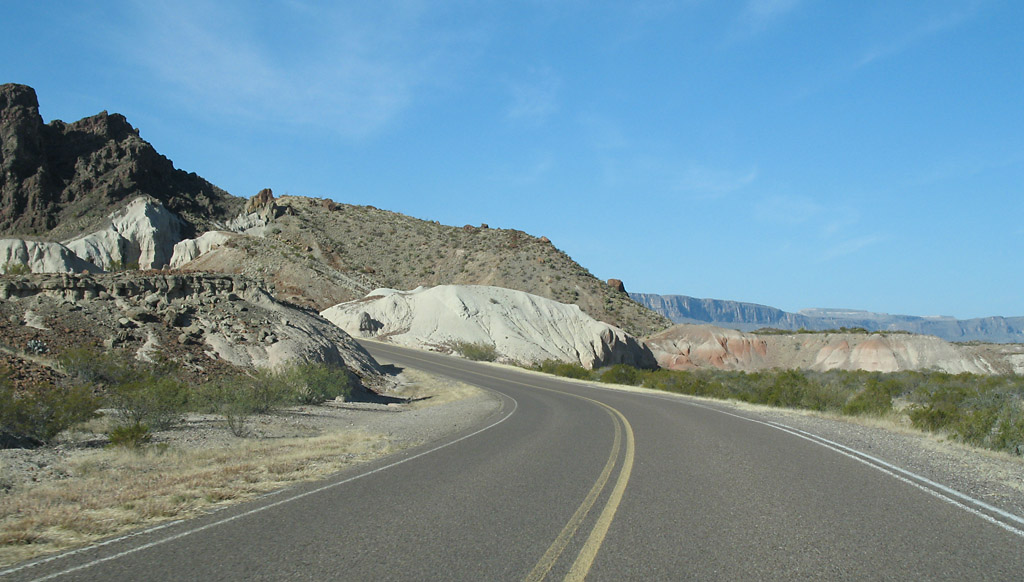
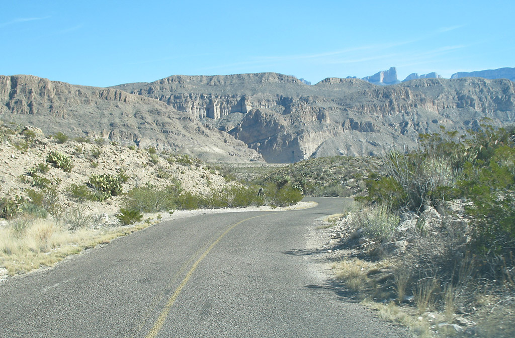
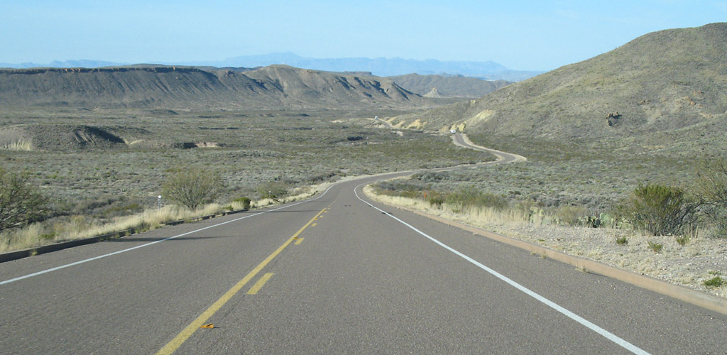
Road to Chisos Basin
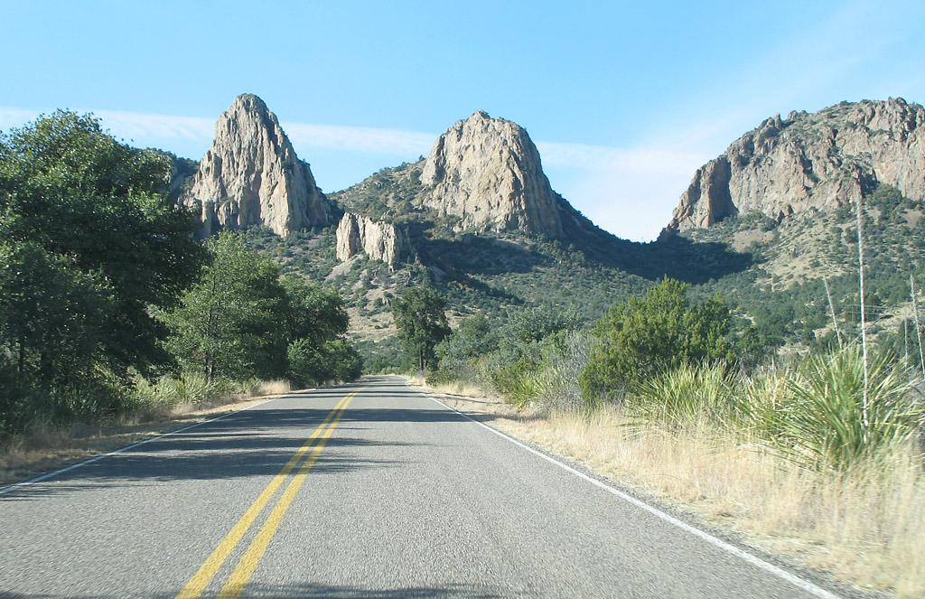
Road to Chisos Basin
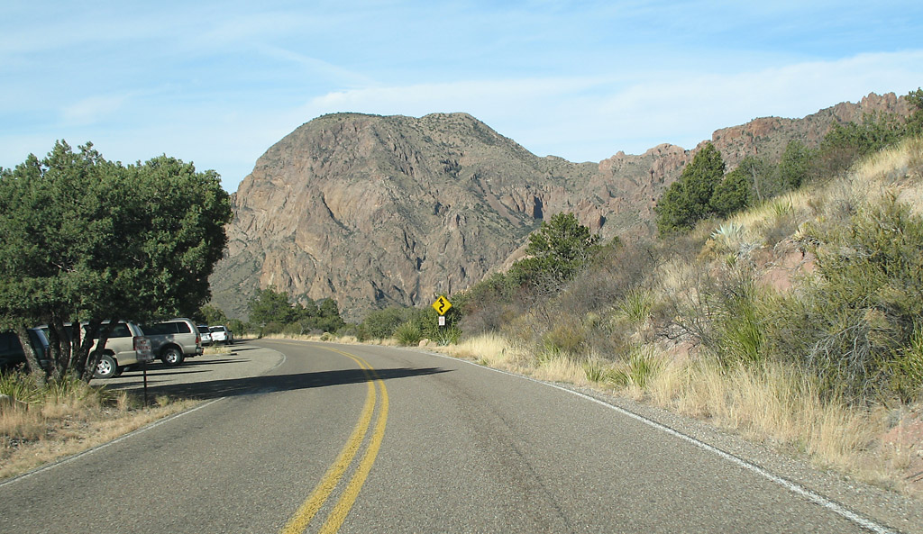
Road to Chisos Basin
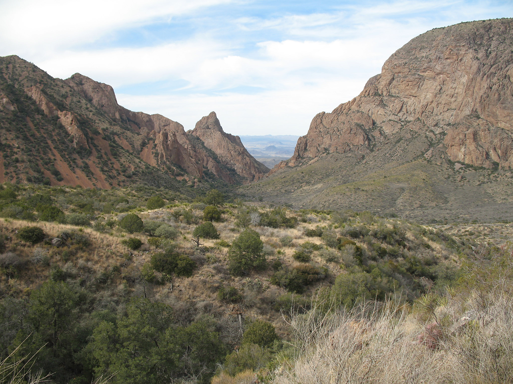
View of the "window" at Chisos Basin (click for high resolution)
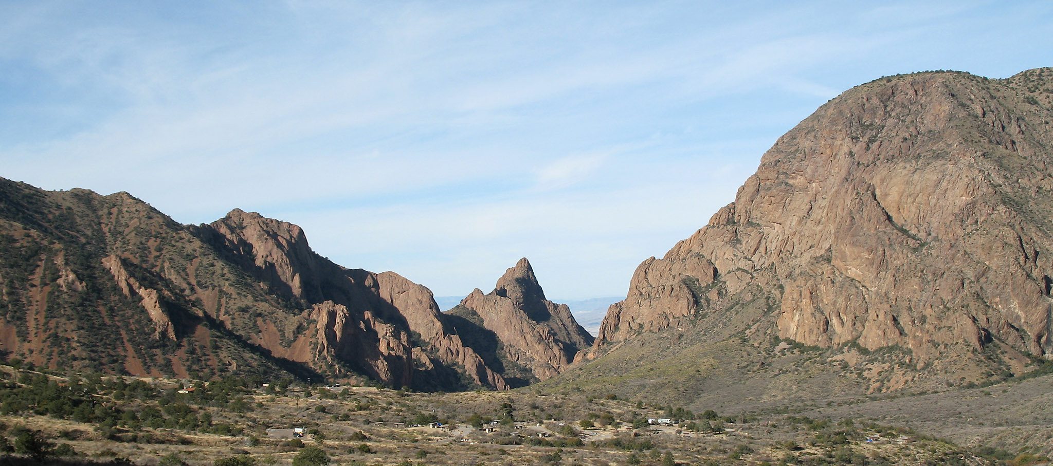
View of the campground at Chisos Basin. The campground is at the lower center of the photo and can be seen better in the high resolution image (click image above).
Casa Grande in the Chisos Basin
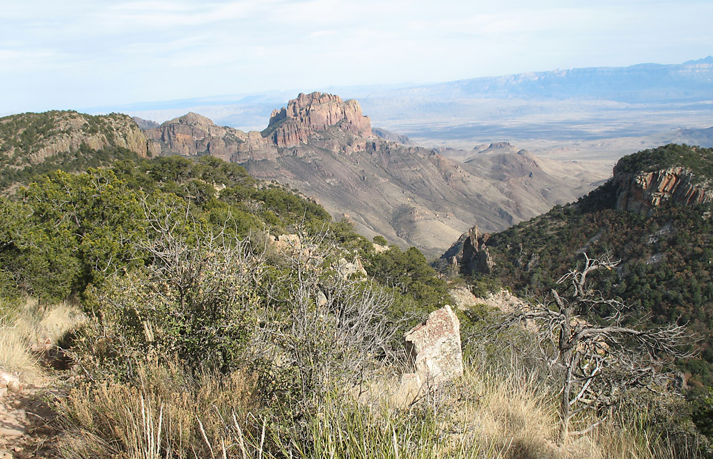
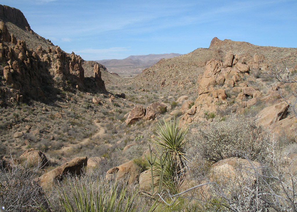
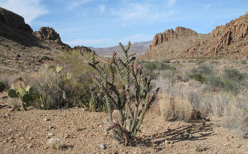
Chisos mountains, view from the trail to Emory Peak
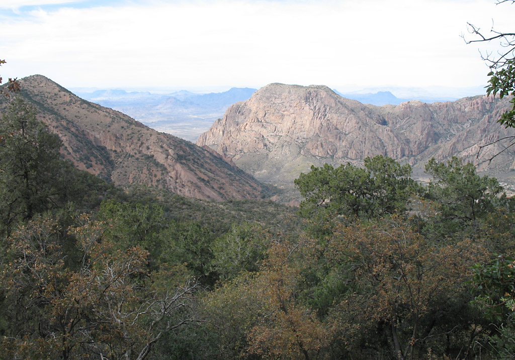
Chisos mountains, view from the trail to Emory Peak
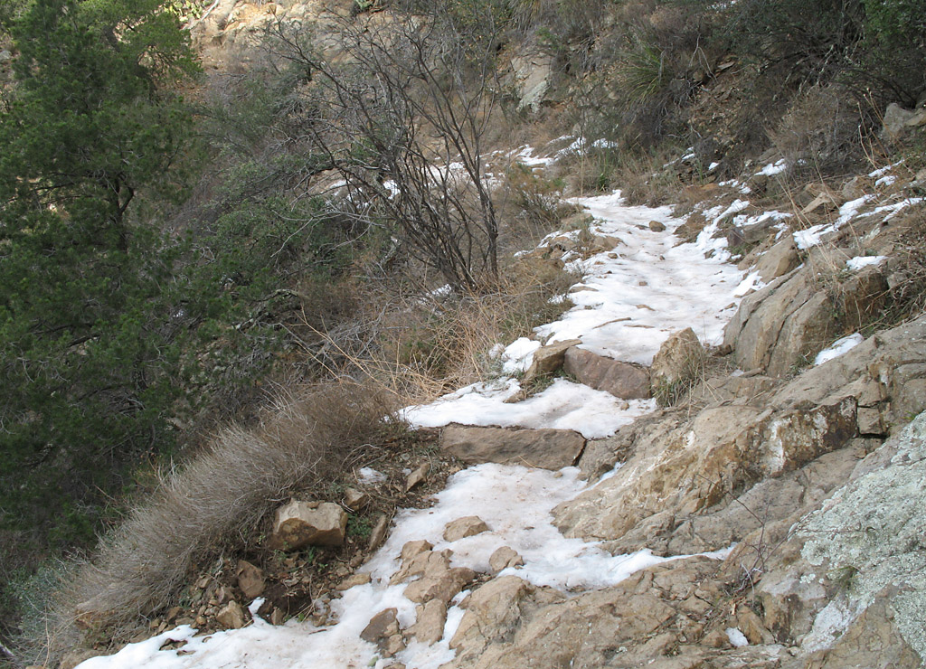
Icy conditions on the trail. There had been snow a month earlier.
Sunrise at Chisos Basin
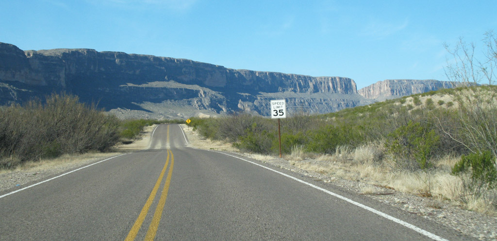
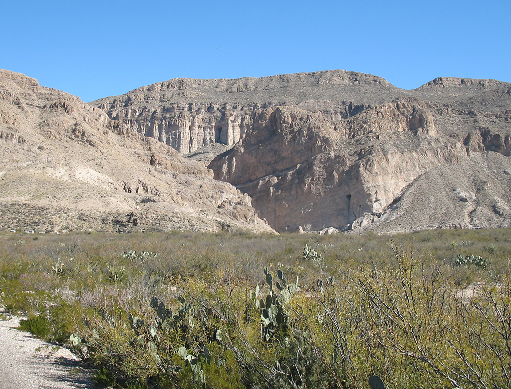
On the road approaching Santa Elena Canyon (visible as a cut in the bluff). This is in the southwest corner of the park.
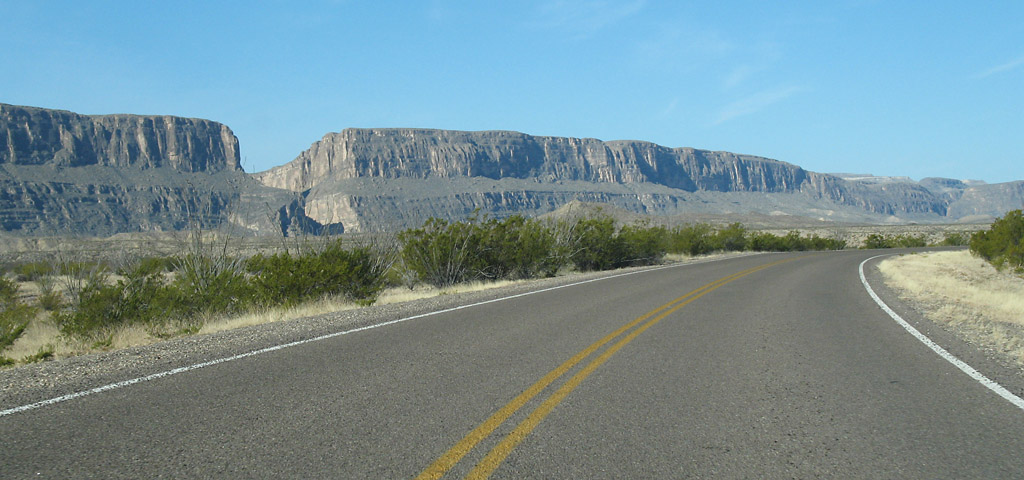
On the road approaching Santa Elena Canyon
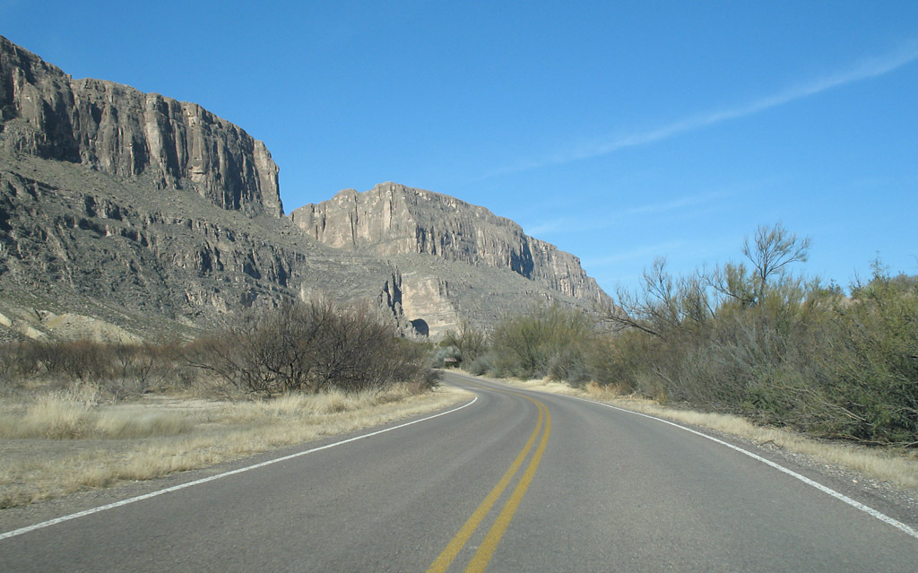
Approaching Santa Elena

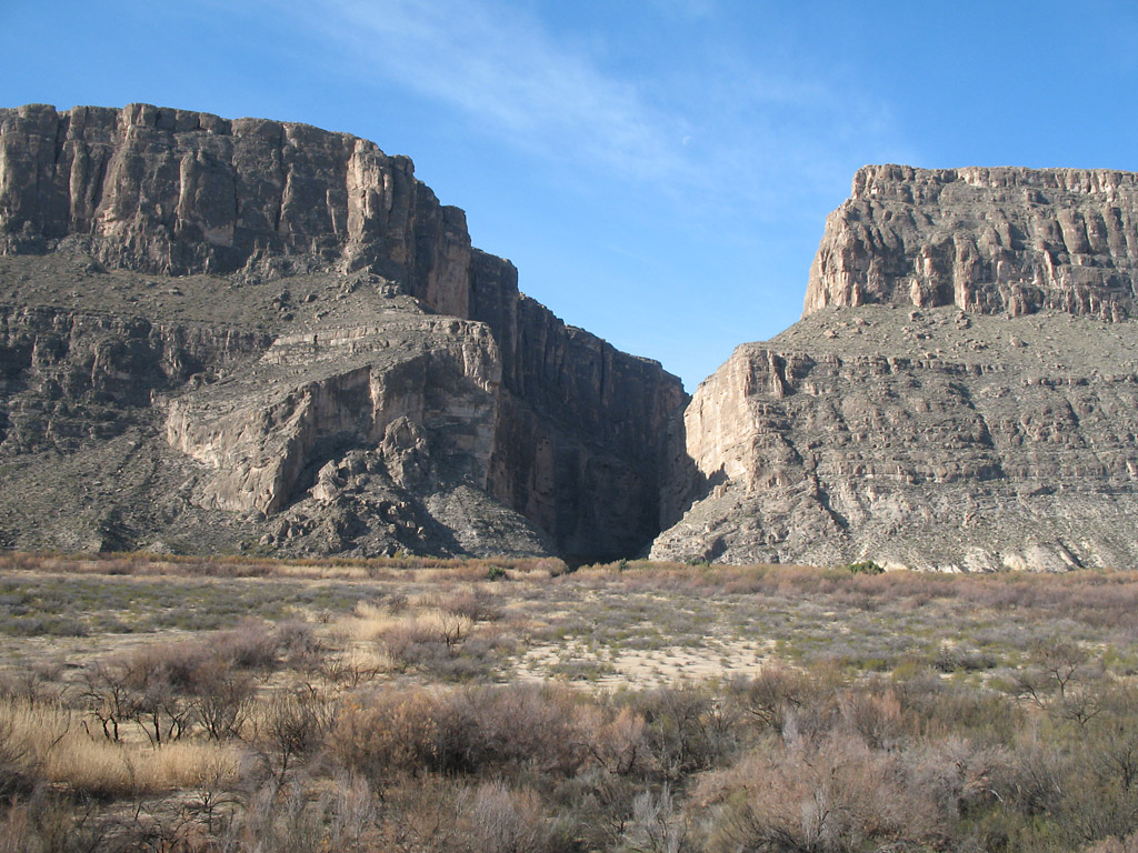
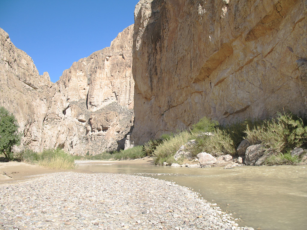
A wide view of Santa Elena Canyon as it cuts the bluff.
Closer view of Santa Elena canyon.
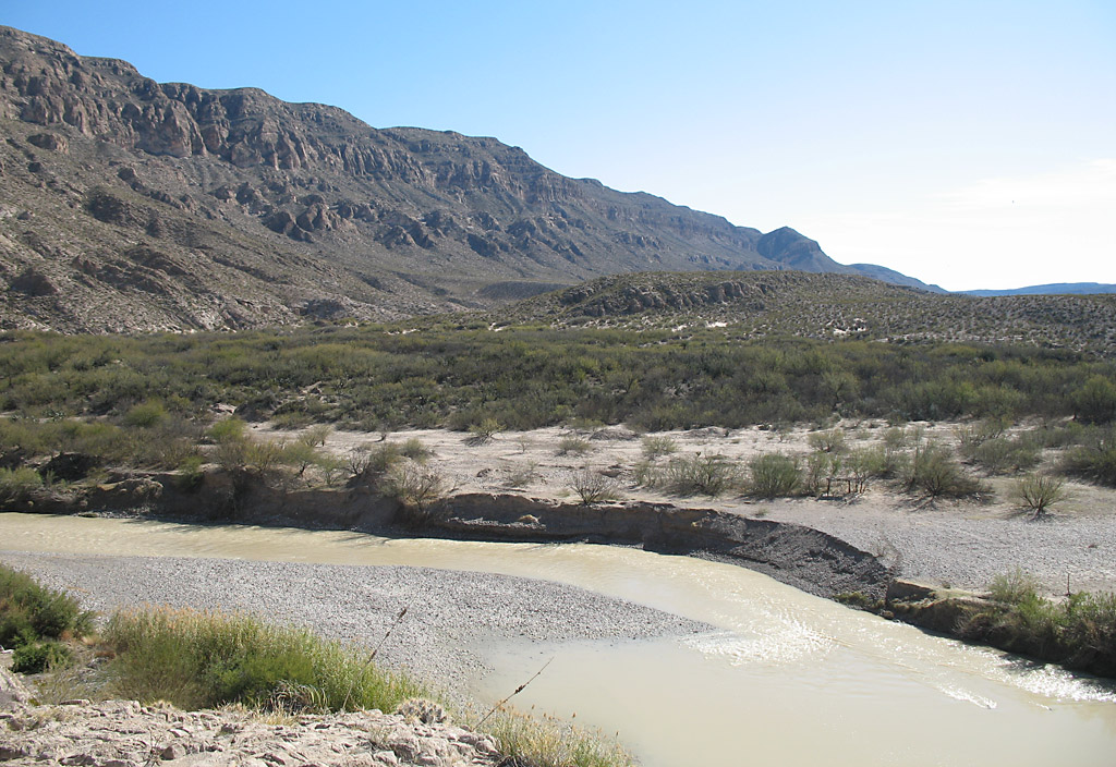
The Rio Grande exiting Santa Elena canyon.
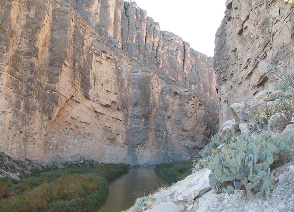
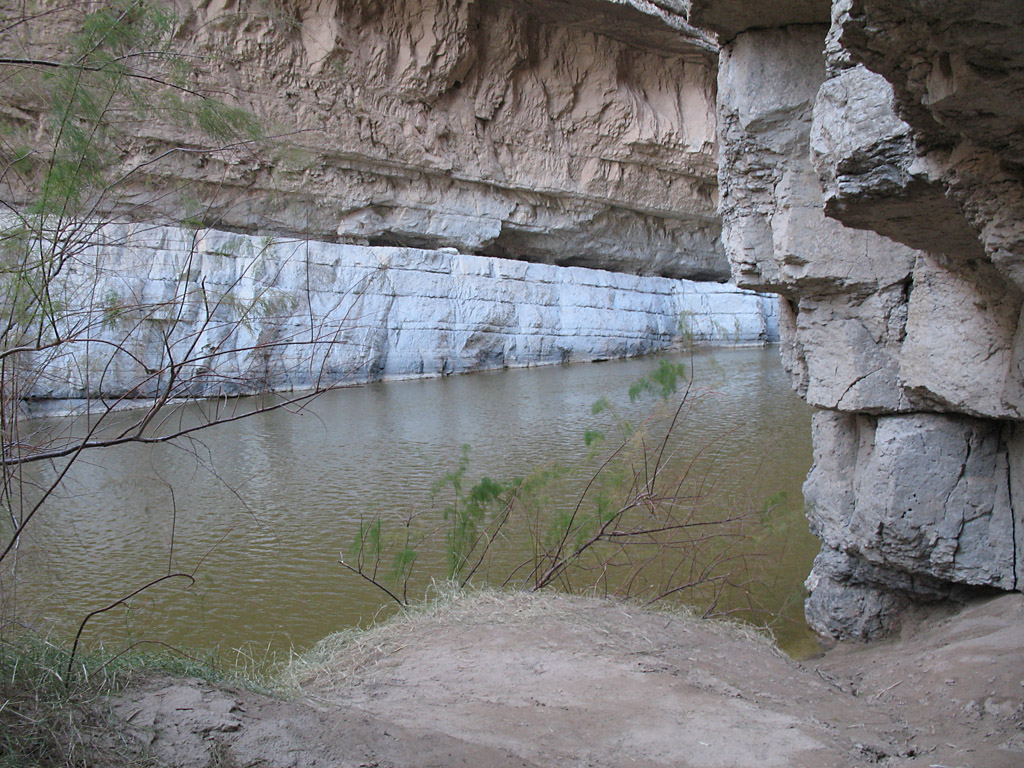
Inside Santa Elena Canyon.
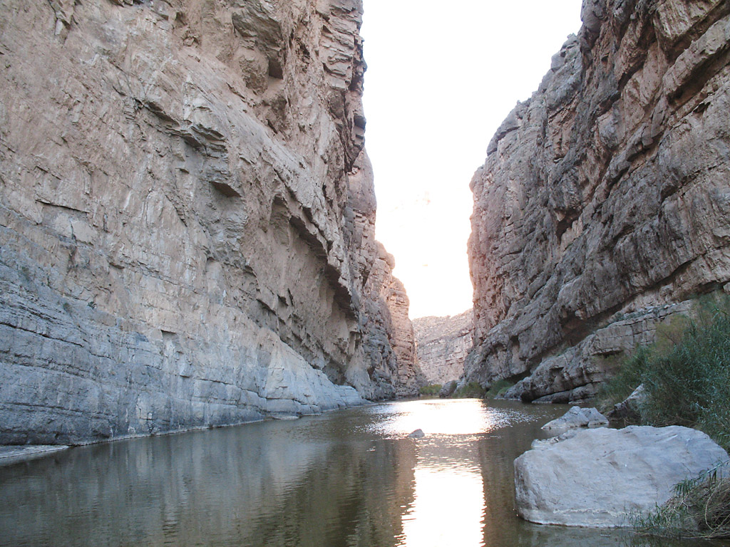
The canyon becomes very narrow, about 10 meters
This is the end of the trail inside the canyon.
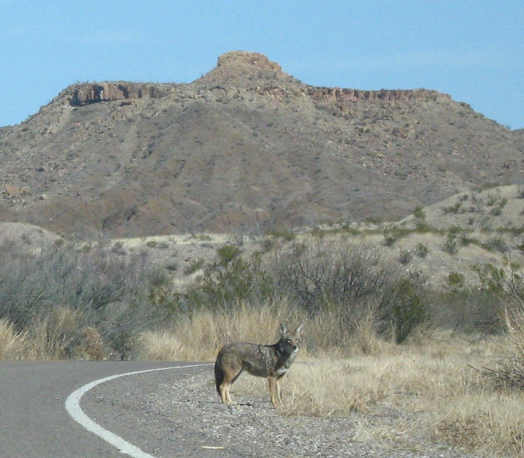
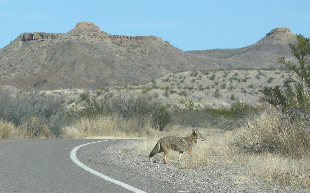
A coyote on the road near Santa Elena Canyon.
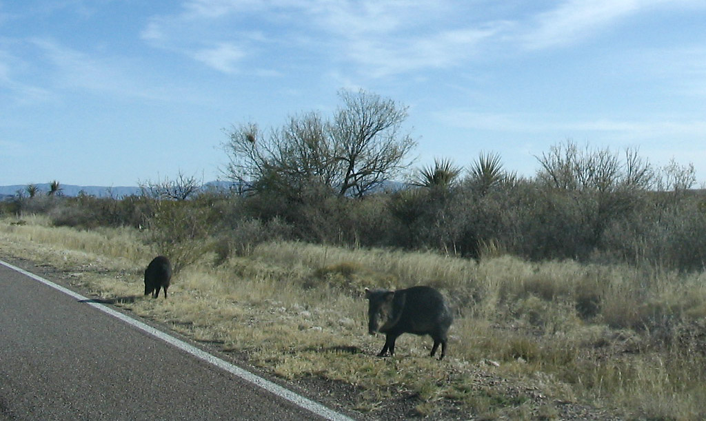
I also spotted two packs of wild boar/javelina inside the park. Here two are strolling along the highway.
This is Ross Maxwell scenic drive, which connects the main road in the north of the park to Santa Elena Canyon.
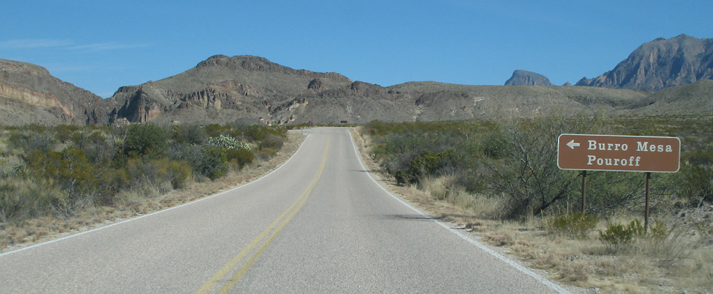
Ross Maxwell drive at Burro Mesa Pouroff turnout. The Pouroff is a waterfall that forms in rare instances of heavy rain runoff.
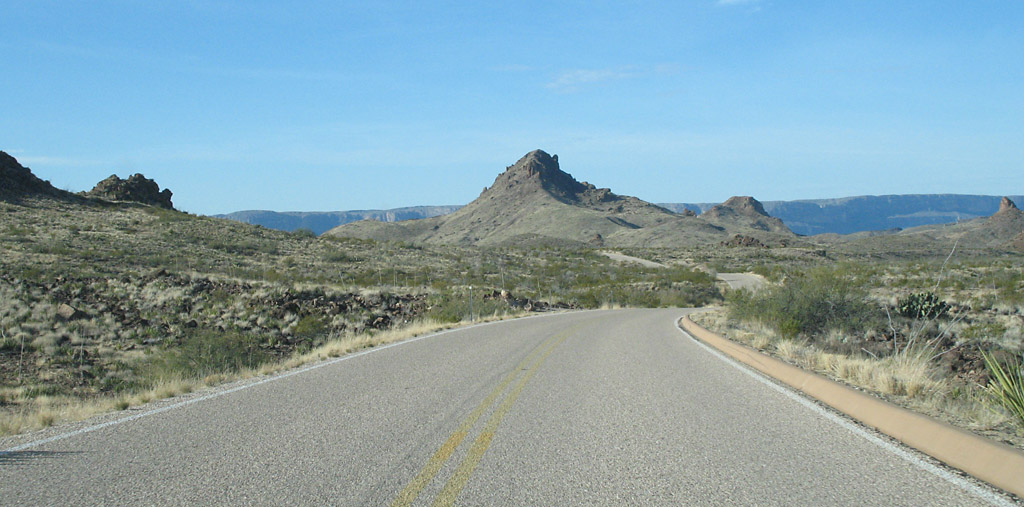
Ross Maxwell drive
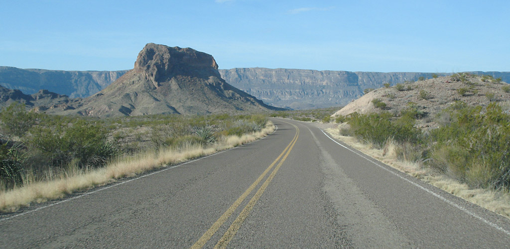
Ross Maxell drive. The bluff in the background is along the river.
Ross Maxwell drive
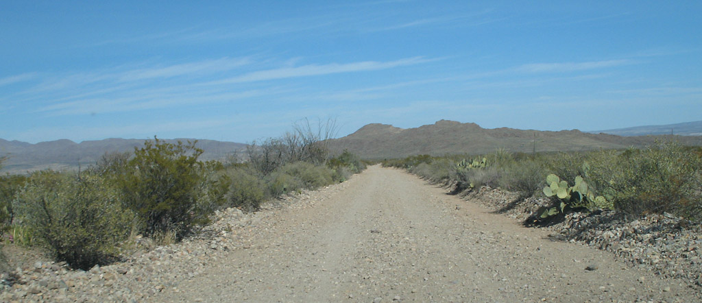
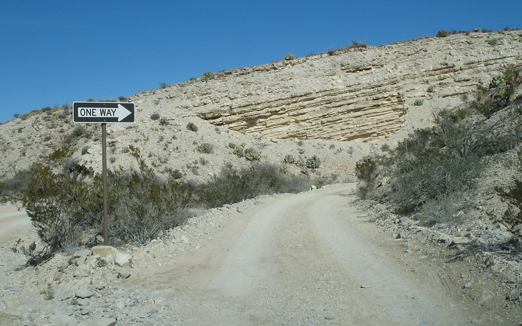
This is the dirt road to Grapevine Hills
This is the small canyon at Grapevine Hills
A nice cactus
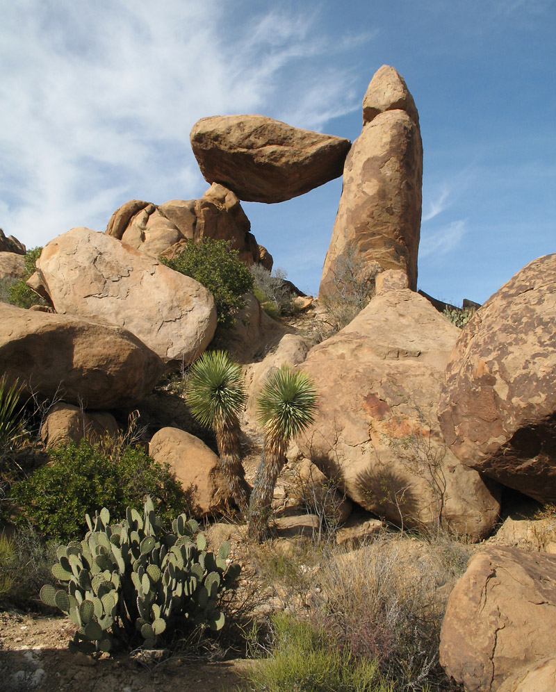
The trail at Grapevine Hills leads to balanced rock
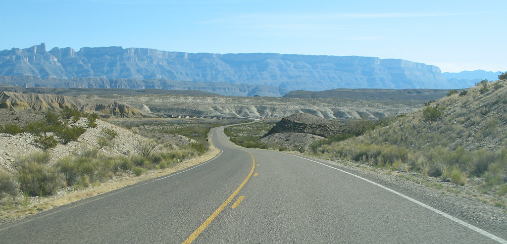
This is the highway leading to the southeast corner of the park, which has Rio Grande Village, Boquillas Canyon, and Hot Springs
Road to Boquillas Canyon
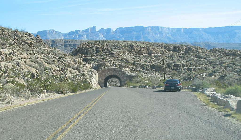
Small tunnel on the way to Boquillas Canyon
A wide view of Boquillas Canyon
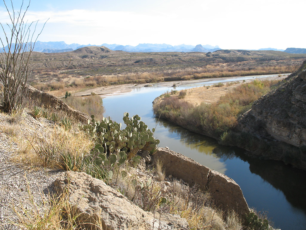
The Rio Grande curves at the bottom of the photo on its way to Boquillas Canyon
The Rio Grande flows toward the canyon
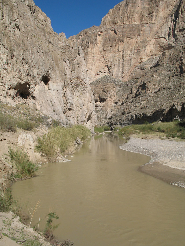
Boquillas Canyon
Dirt road to Hot Springs
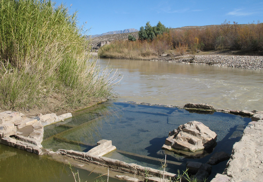
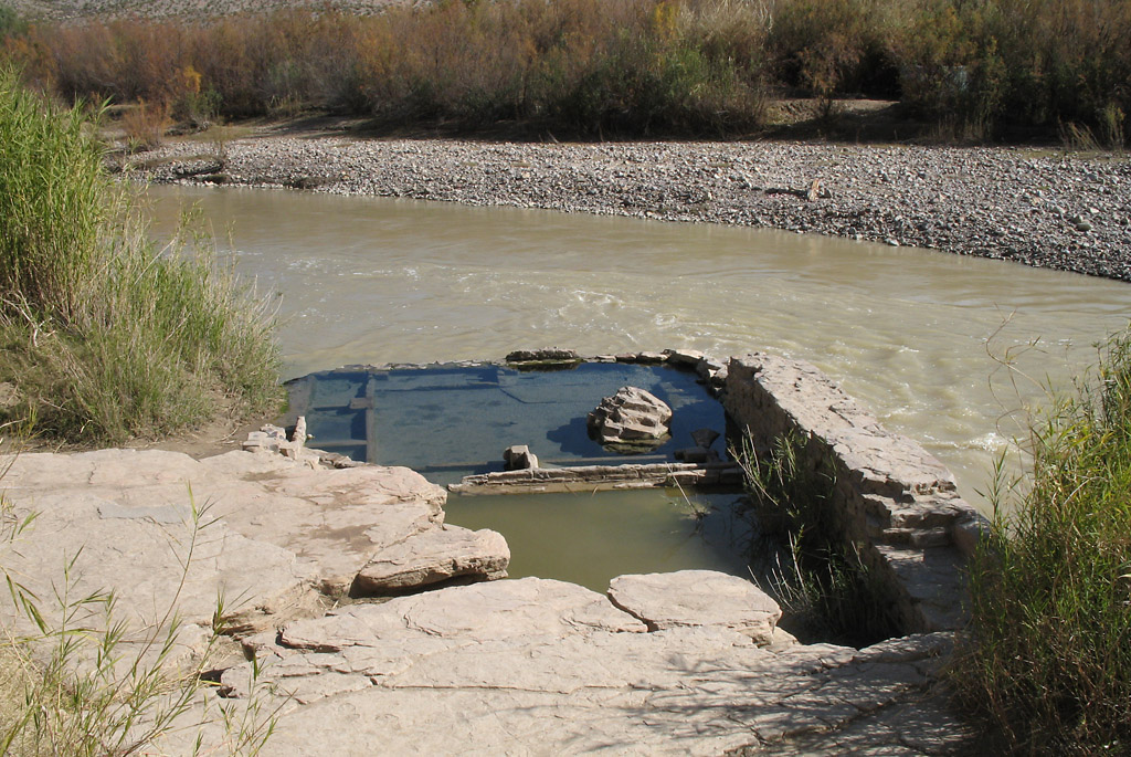
Hot Springs is an interesting site. The spring is just inside the river. A containment structure was built to capture the upwelling water, and
the structure juts into the muddy water of the Rio Grande.
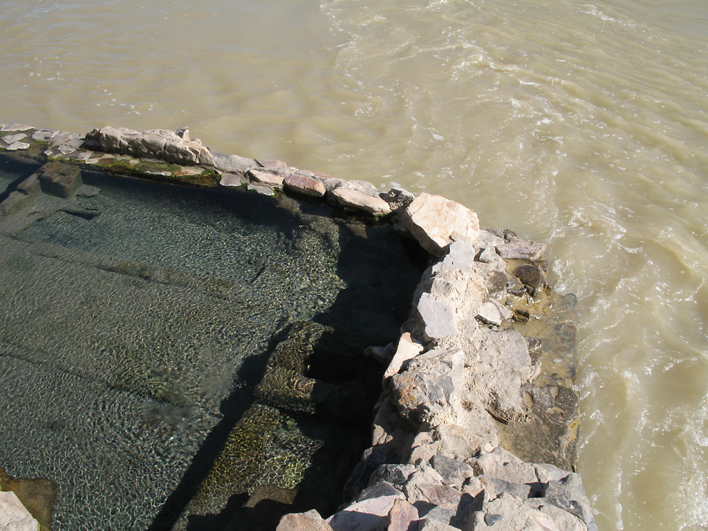
This closeup view shows the river water rushing past the containment structure, and the turbulence in the water from the rising
spring water is visible.
A wide view of the hot springs
Heading back to Chisos Basin on the road from Rio Grande Village.
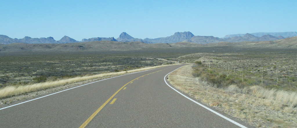
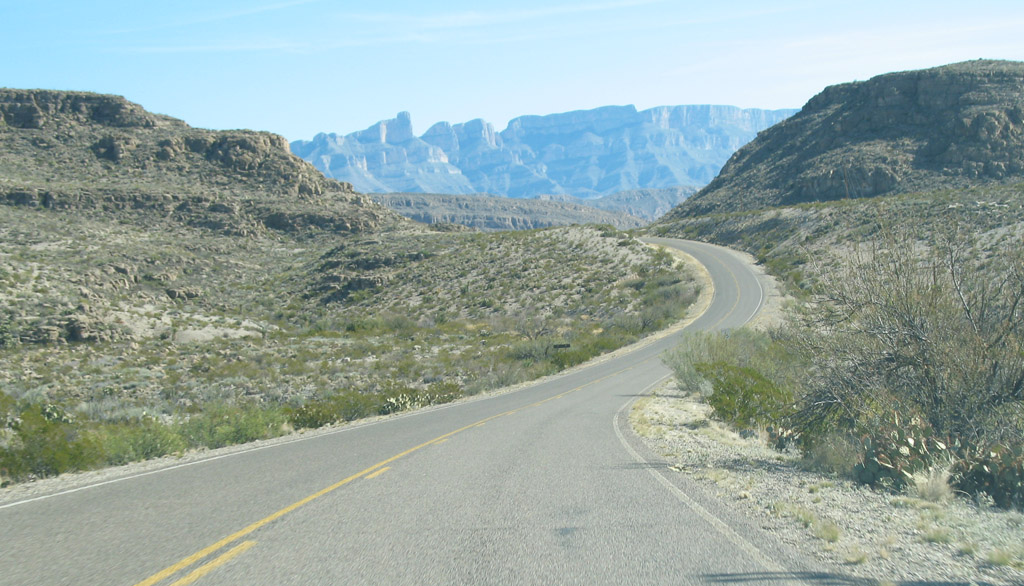
This is the east-west highway in the northern part of the park
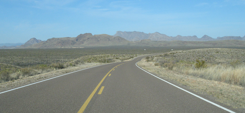
The east-west highway
The east-west highway
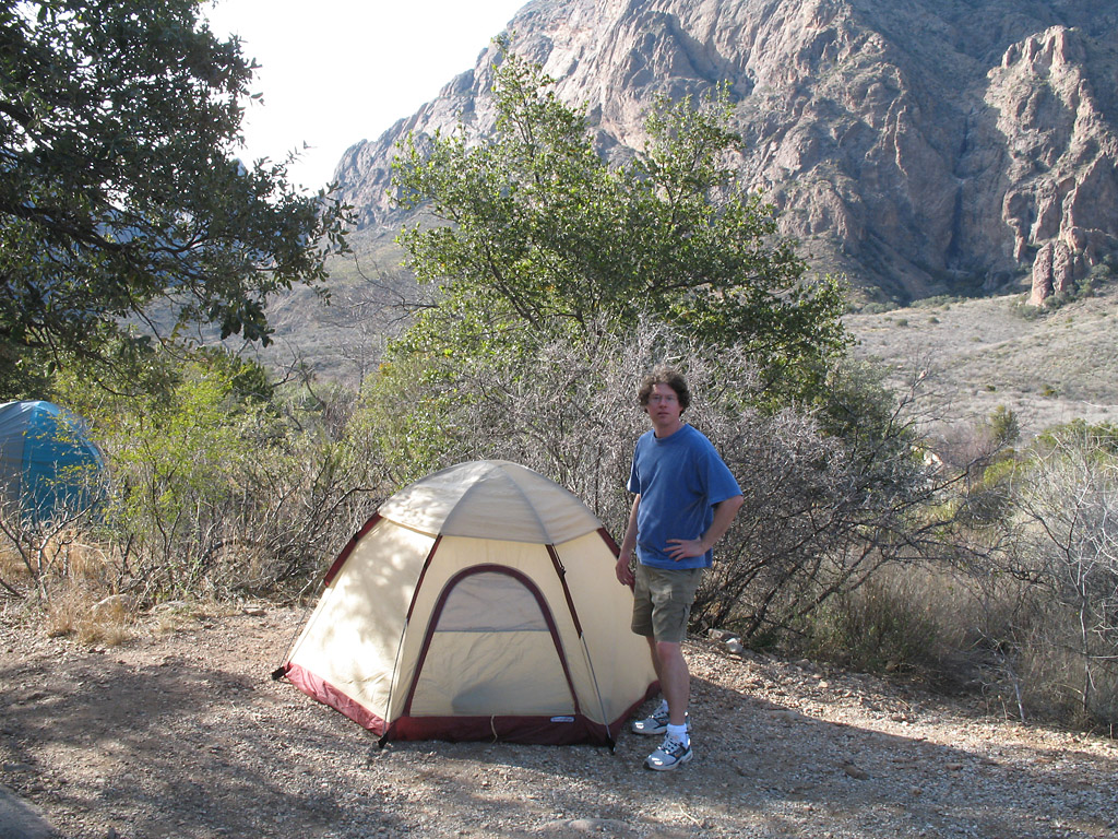
Me at the campsite