May 12 and 13, 2007
Created May 15, 2007
Last updated May 20, 2007 (Add historical map)
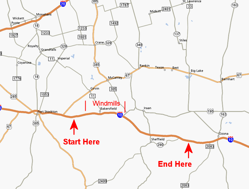
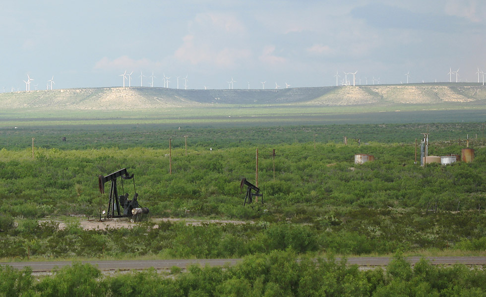
This is the most interesting section of rural interstate highway in Texas. Classic desert landscapes, interesting highway geometrics, large rock cuts, Texas' largest windmill farm and old oil fields combine to make this the best.
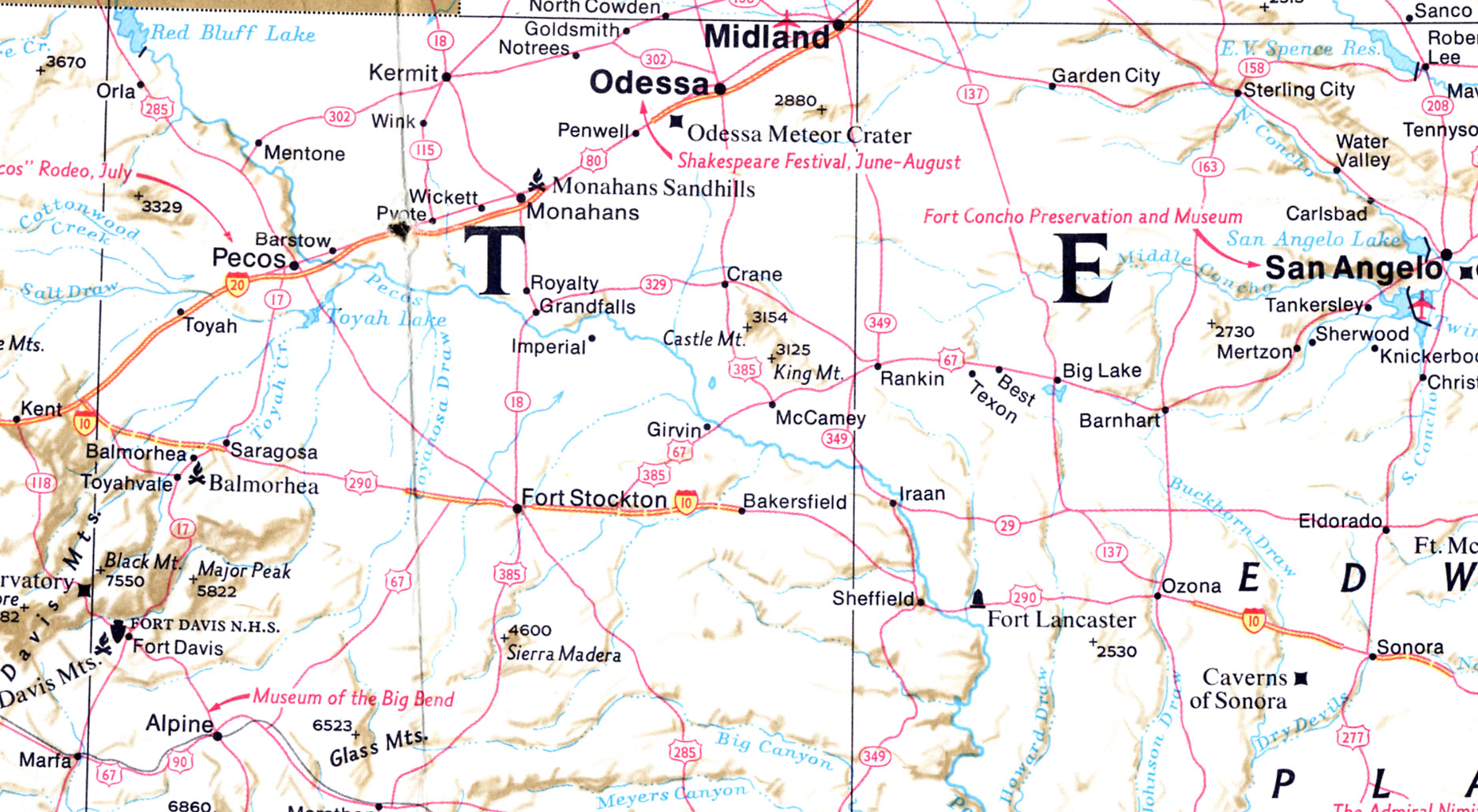
This section of Interstate 10 was originally US 290. The US 290 alignment was used for Interstate 10 except for the 18-mile section east of Sheffield, which is on a new alignment. Just below the modern map is a 1974 map which shows that none of this section of Interstate 10 was open to traffic as of the map publication date of October 1974 (assuming the map is accurate).

High resolution of this image.
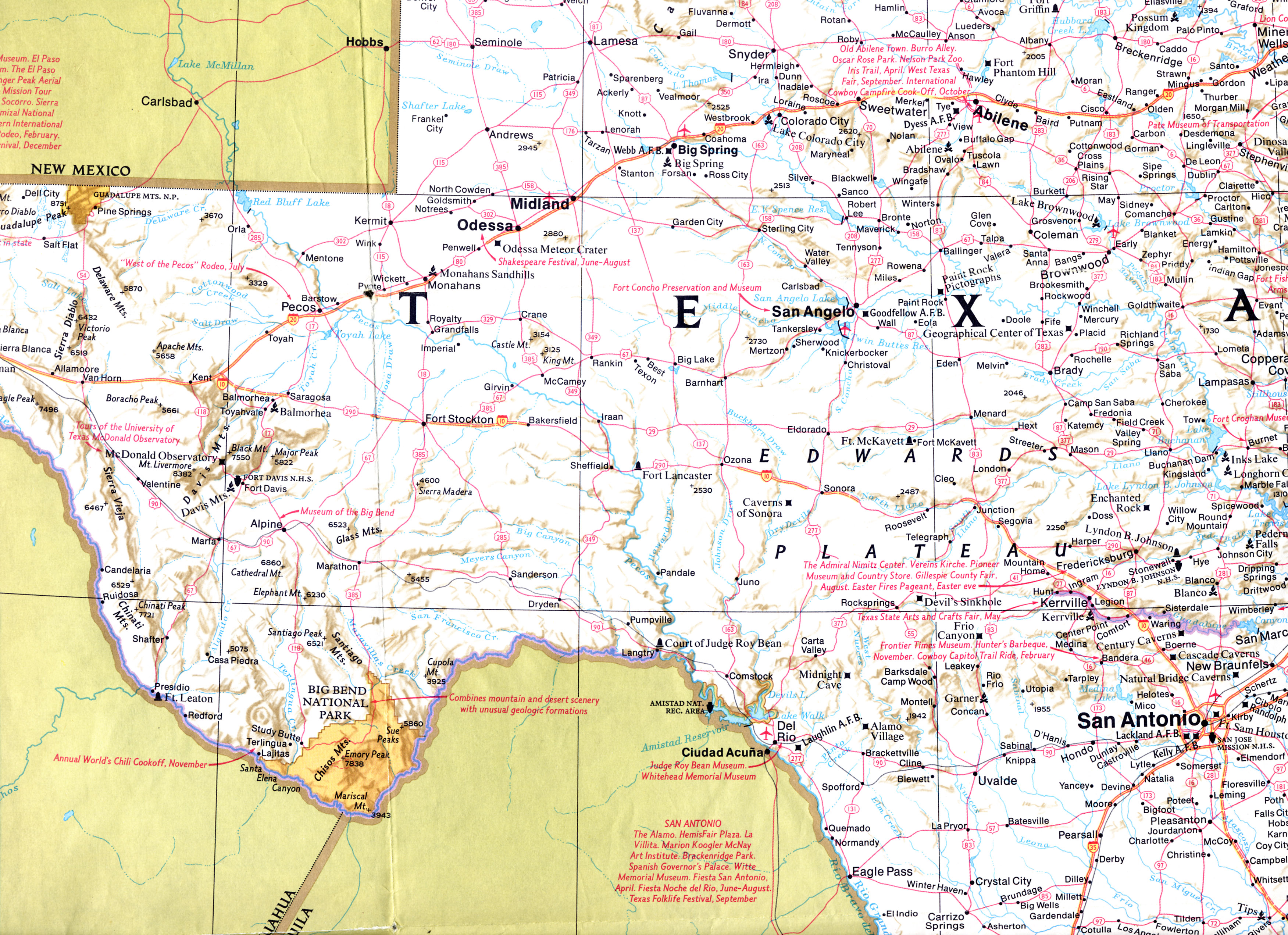
Larger map showing all of I-10 from San Antonio to near El Paso.
This October 1974 National Geographic map shows the status of Interstate 10 at that time. I don't know how up-to-date and accurate National Geographics maps were/are.
I-10 was under construction from the start of
these images to Bakersfield. East of Bakersfield there is no indication of construction. This section was probably completed in the
late 1970s or early 1980s. Interstate 10 in Texas was completed on May 20, 1983 with the opening of the bypass at Fort Stockton.
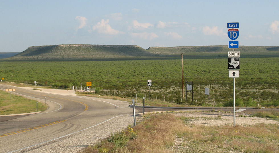
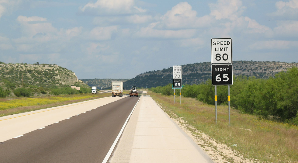
We'll start at Ranch Road 2023, east of Fort Stockton near mile marker 278. (2007-05-12)
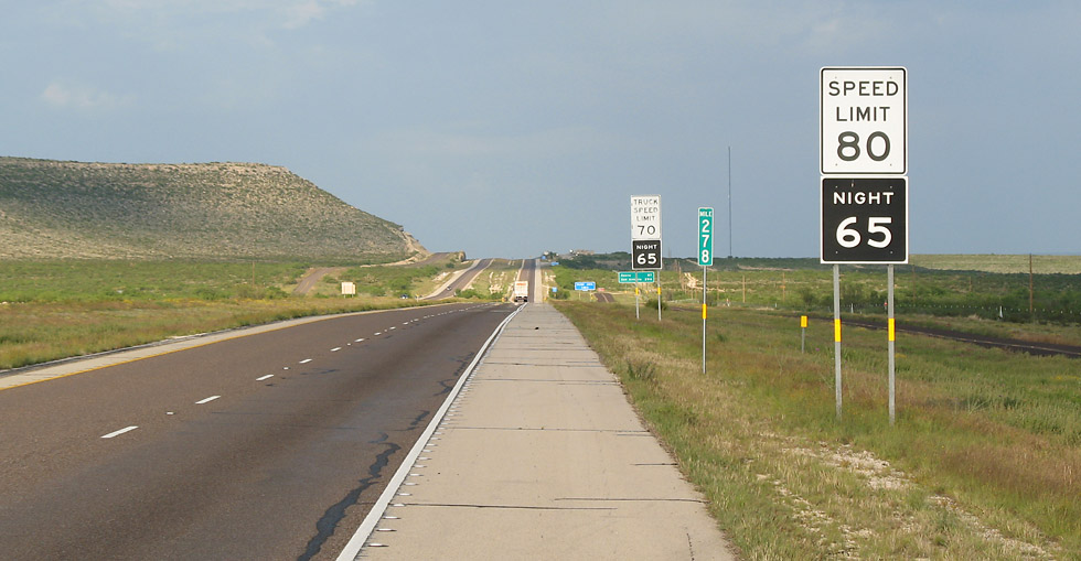
The speed limit is 80 mph, as it is for I-10 in all of West Texas. (2007-05-12)
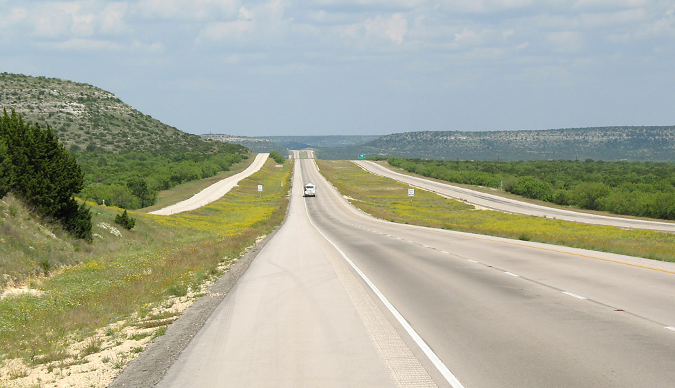
Looking east from McKenzie Road at mile marker 307. (2007-05-12)
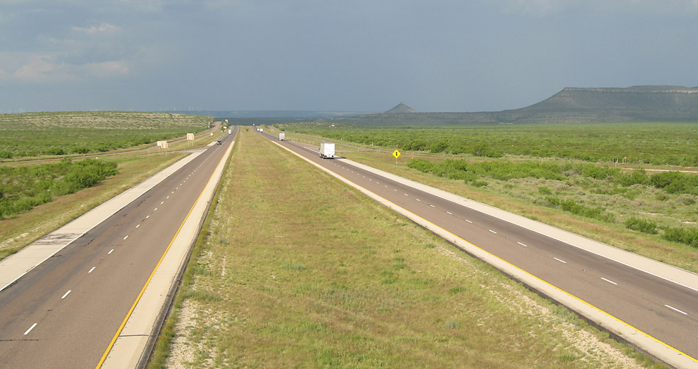
Looking east at Ligon Road, mile marker 288. There are storms ahead. (2007-05-12)
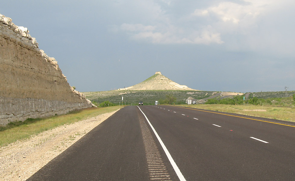
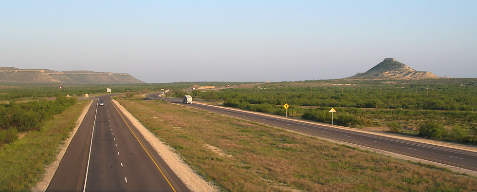
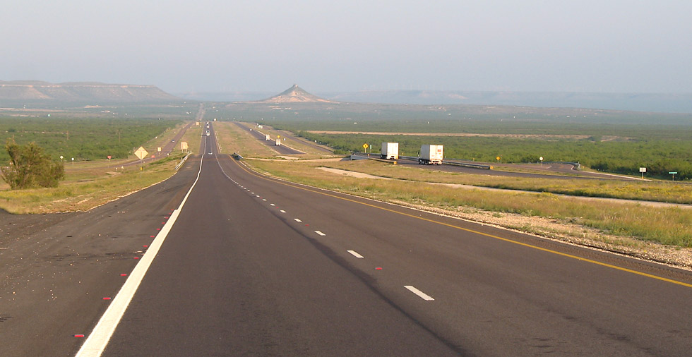
Butte near mile marker 292, west of Bakersfield. (2007-05-12)
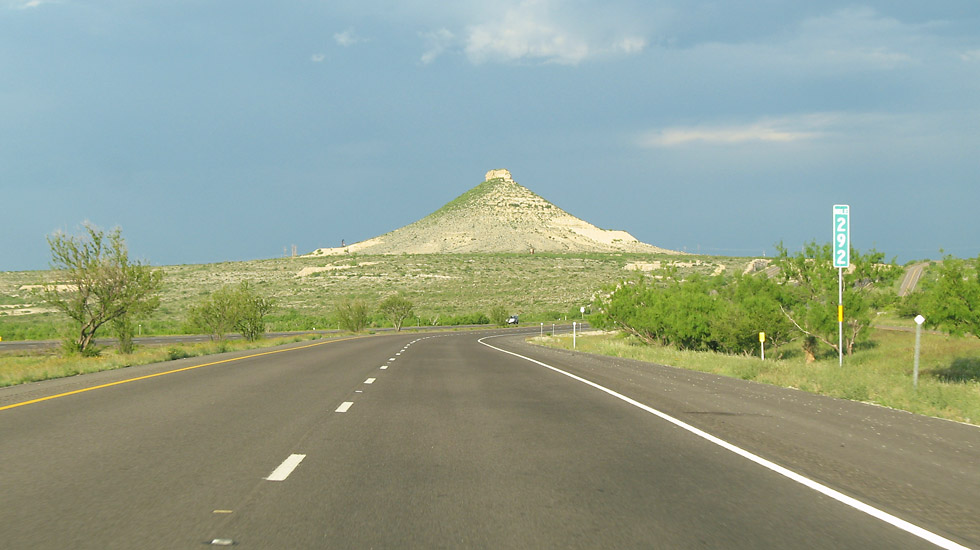
Another view of the butte, from behind the steering wheel going eastbound. (2007-05-12)
Looking east from FM 11 at Bakersfield, exit 294. (2007-05-12)
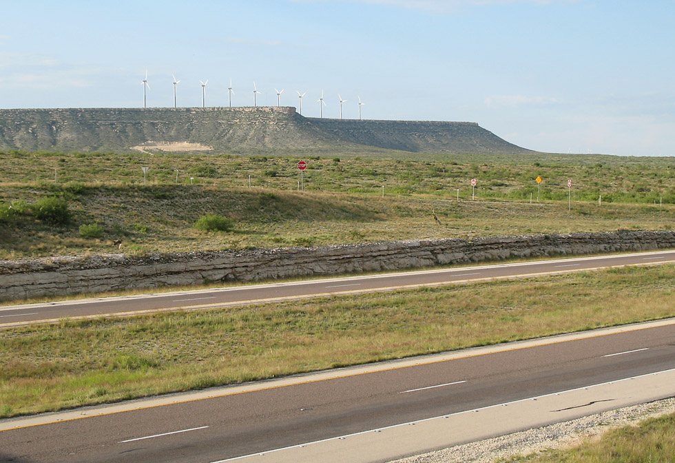
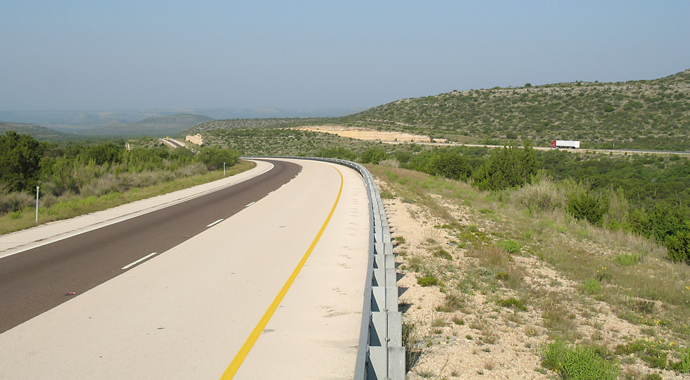
(high resolution) A mesa northeast of the FM 11 intersection is topped with windmills. (2007-05-12)

(high resolution)
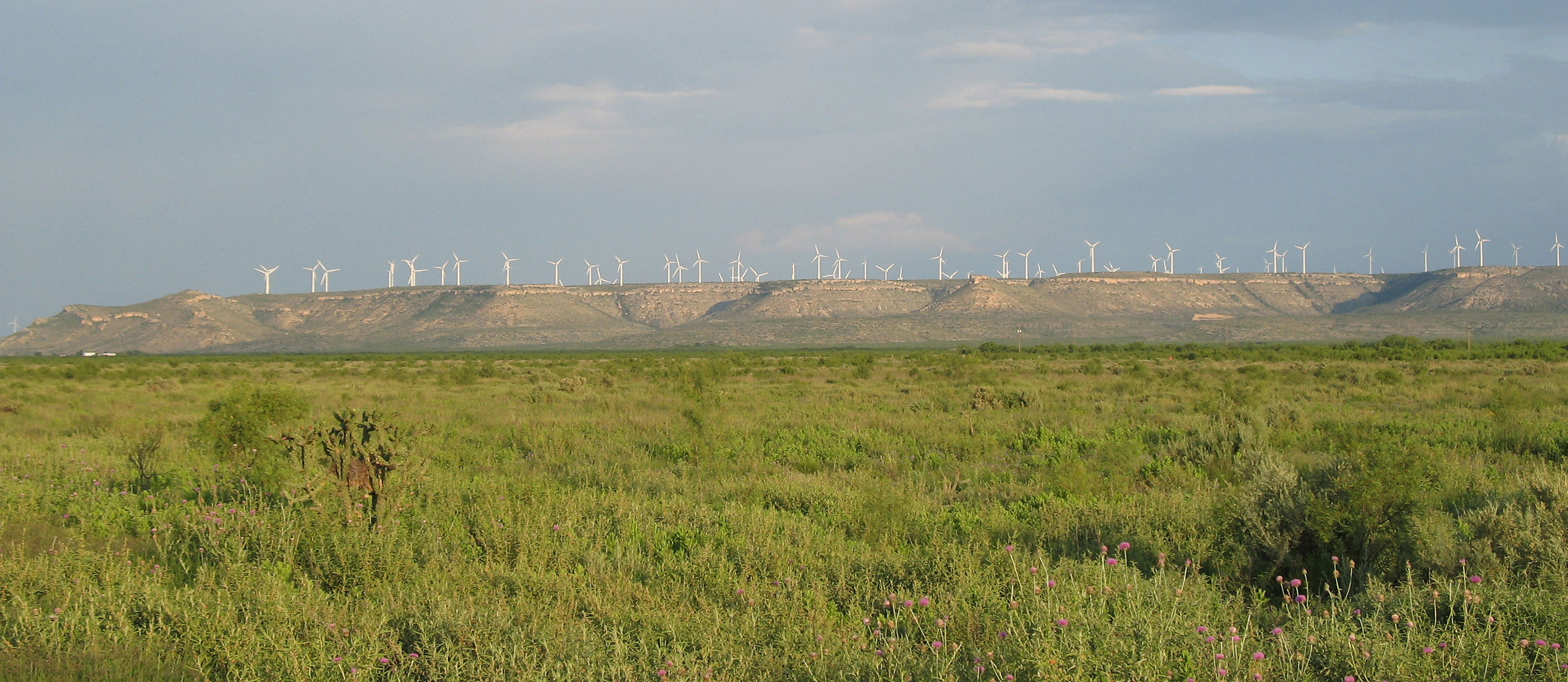
A view of a typical mesa in the area with windmills. The windmill farm area is on the north side of I-10, extending north to McCamey. (2007-05-12)
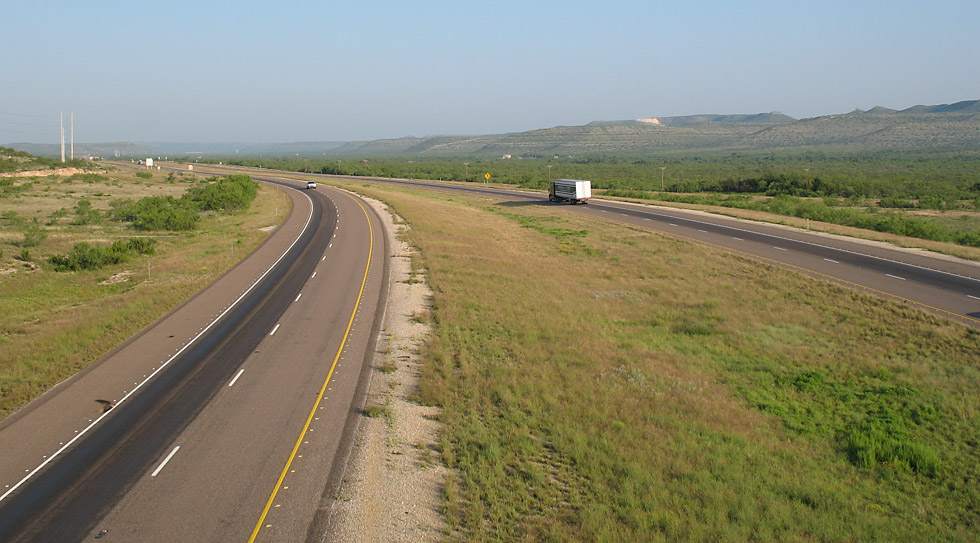
This view looks west from FM 11. (2007-05-13)
Looking west at FM 2886, mile marker 298. (2007-05-13)
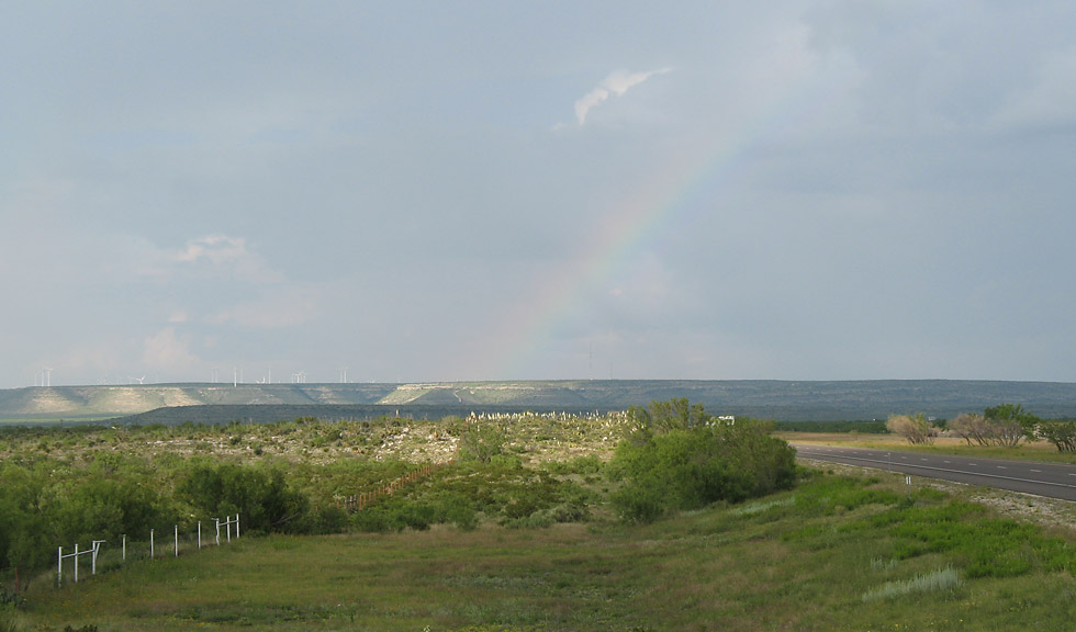
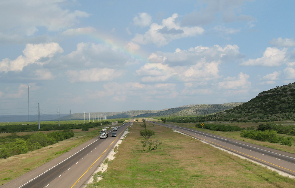
West of US 190 a rainbow appears. I-10 is on the right side of the photo. (2007-05-12)
Another view of the rainbow. (2007-05-12)
(high resolution)
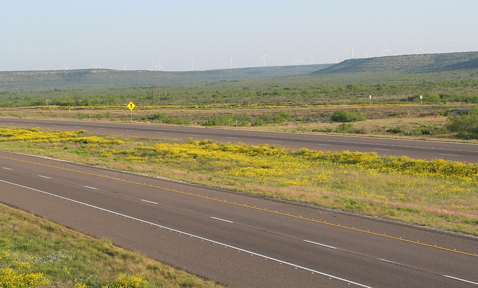
This is at US 190, exit 307. Although it is a little difficult to see, the mesa on the north side of the interstate is lined with windmills. (2007-05-13)
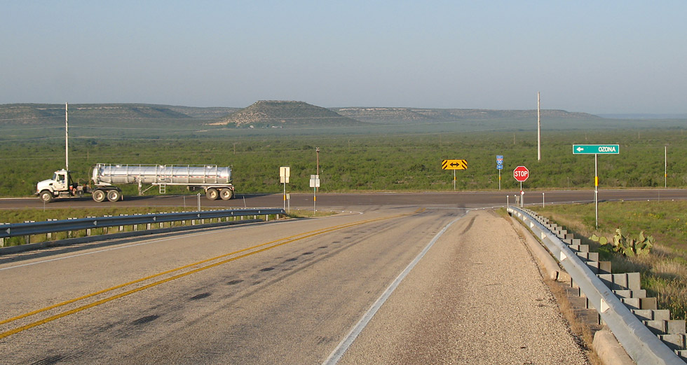
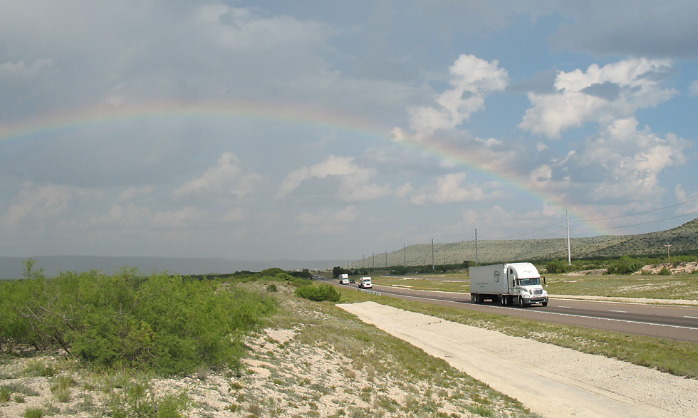
A tanker truck proceeds on the ramp at US 190. These tanker trucks service the oil fields in the area, and these trucks are prevalant on the roads. (2007-05-13)
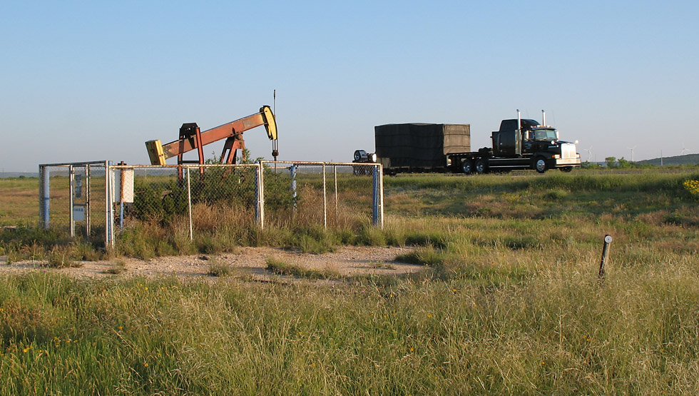
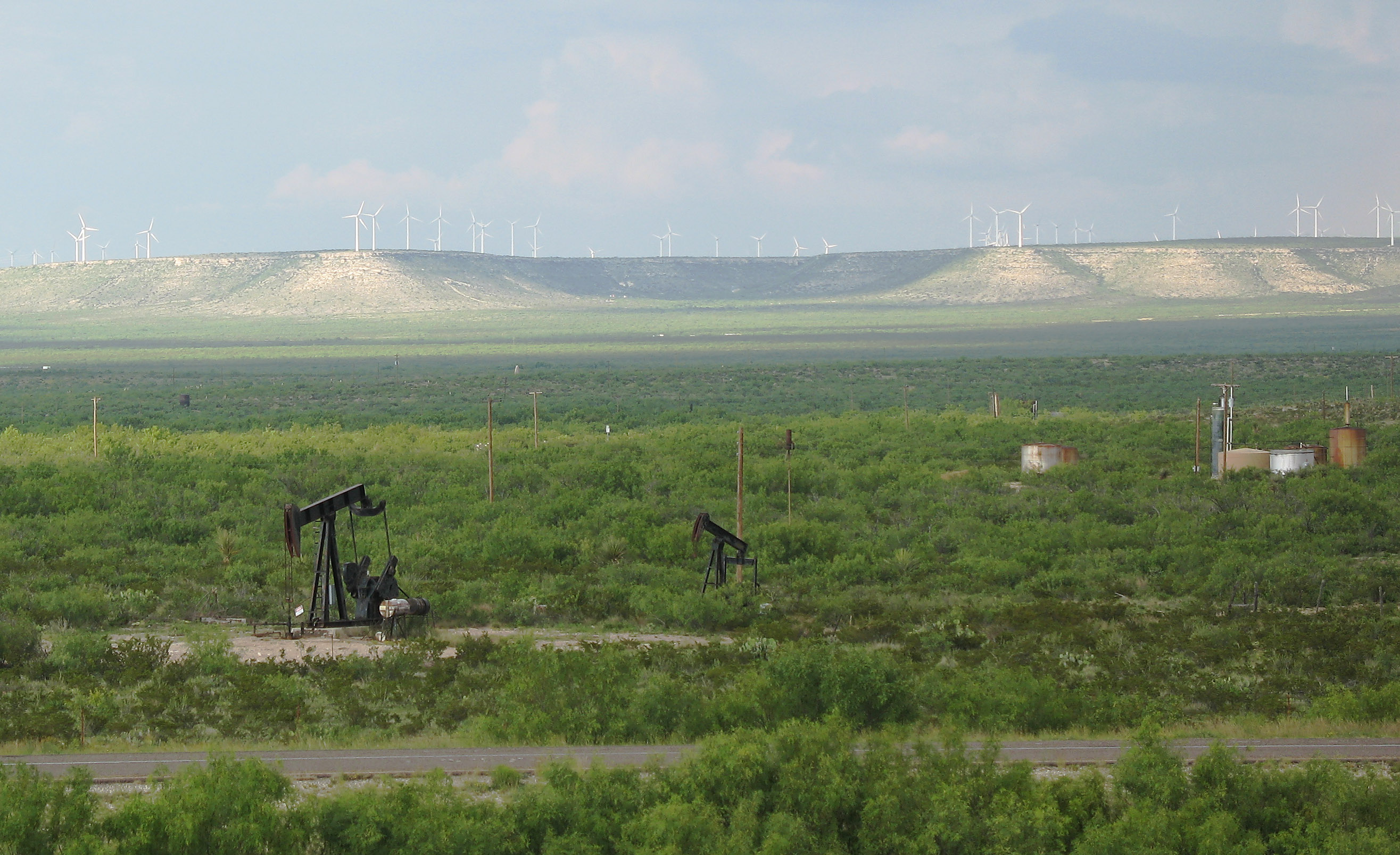
This is the south fringe of the Permian Basin oil fields. Stripper oil wells and tanks are prevalent along the interstate.
This stripper is on the I-10 right-of-way, between the main lanes and the frontage road. (2007-05-13)
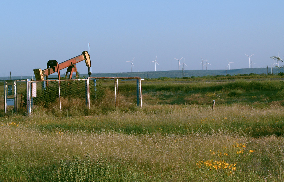
Here is a closer view of the stripper well with windmills in the background. (2007-05-13)
Rock cut west of exit 314. (2007-05-13)
Exit 314. (2007-05-13)
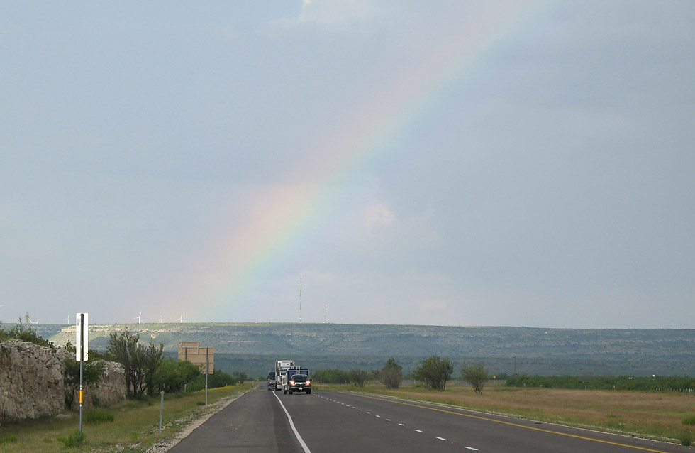
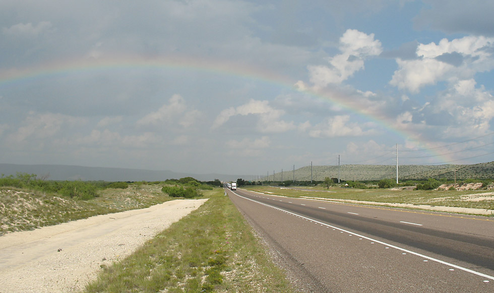
West of Sheffield, looking east. The rainbow is just barely visible in this photo. (2007-05-12)
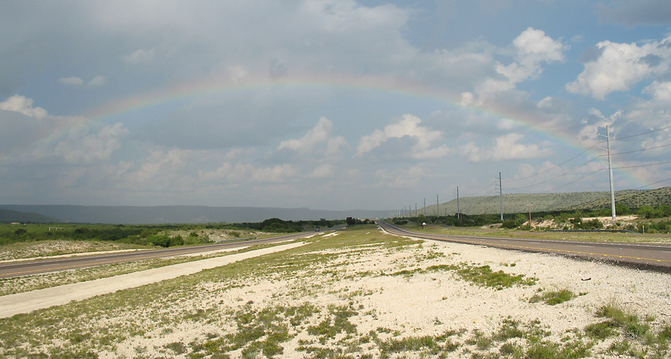
Here we see the complete rainbow arching over the interstate. (2007-05-12)
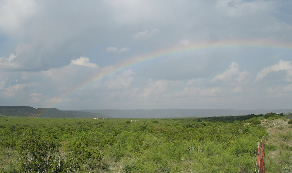
This view looks northeast across the desert. (2007-05-12)
Another view of the rainbow. (2007-05-12)
One more. In all my years of taking highway photos, this was the first time I was lucky enough to capture a rainbow. (2007-05-12)
Exit 325 at route 290/349 near Sheffield. Going east, Interstate 10 follows a new alignment that was built in the late 1970s. (2007-05-13)
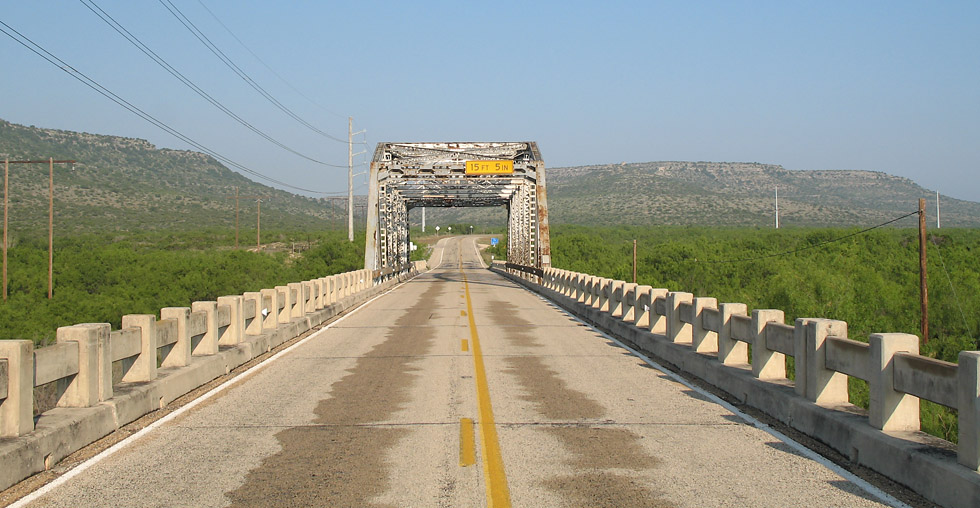
Prior to the construction of Interstate 10, traffic used the old US 290, now signed at Texas 290. This is the Pecos River bridge. (2007-05-13)
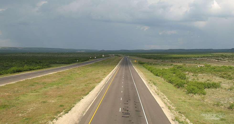
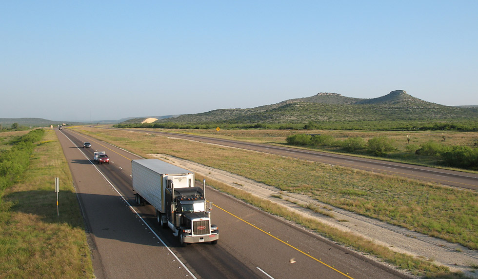
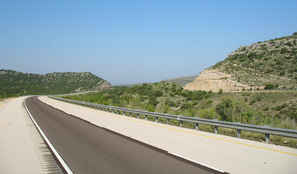
Near mile marker 332. (2007-05-12)
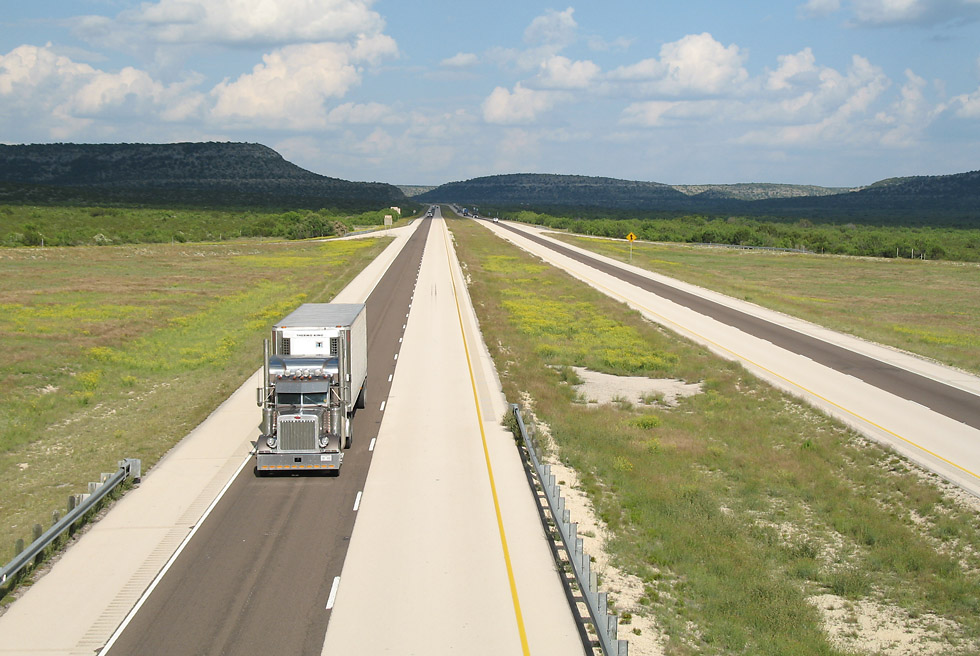
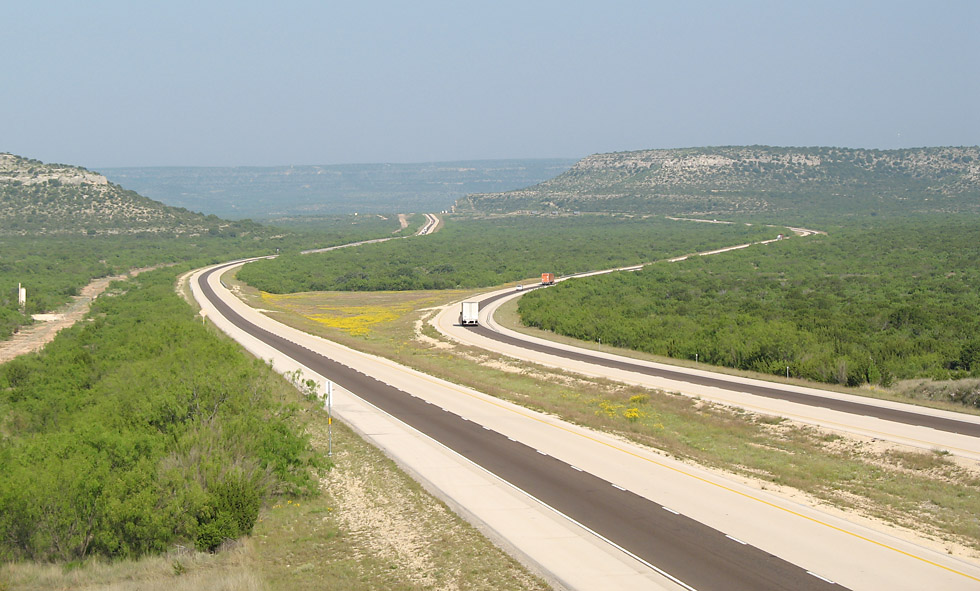
At mile marker 332 the highway main lanes separate to traverse a rugged area. (2007-05-13)
Also near mile marker 332. (2007-05-13)
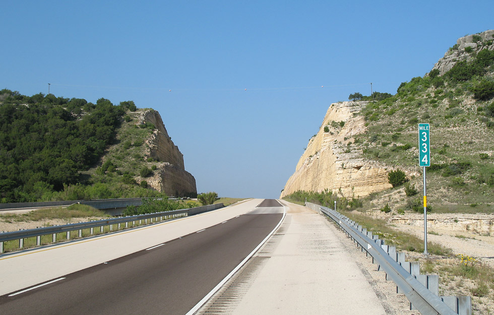
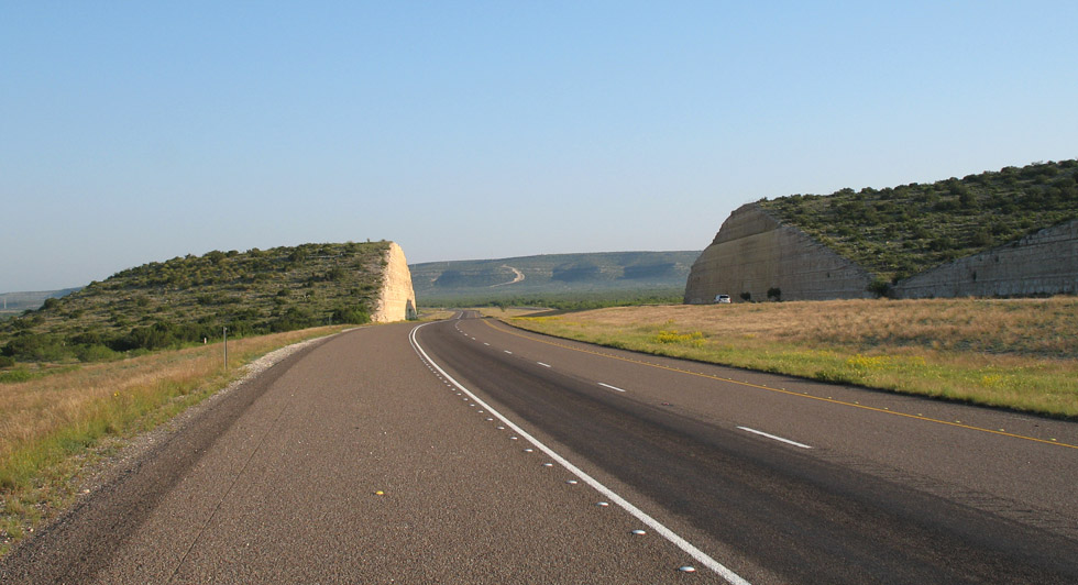
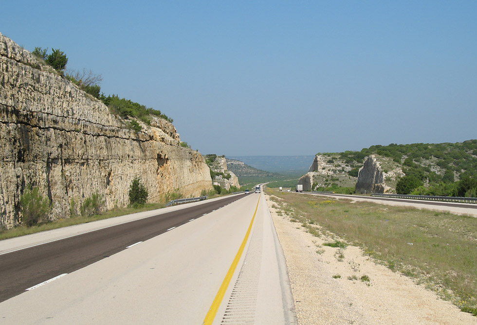
A nice rock cut at mile marker 334. (2007-05-13)
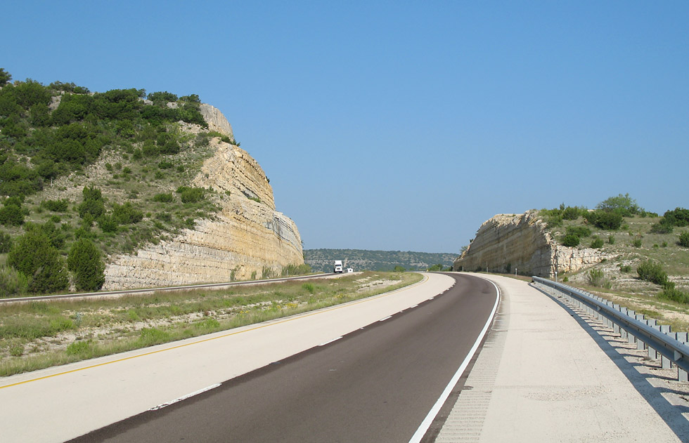
Near mile marker 334. (2007-05-13)
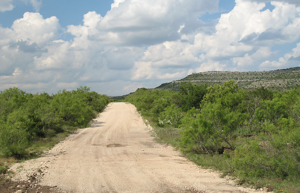
At the Live Oak road exit, exit 337, I took a dirt road into the desert. The desert vegetation is quite thick with brush, mesquite, and prickly pear cactus. (2007-05-12)
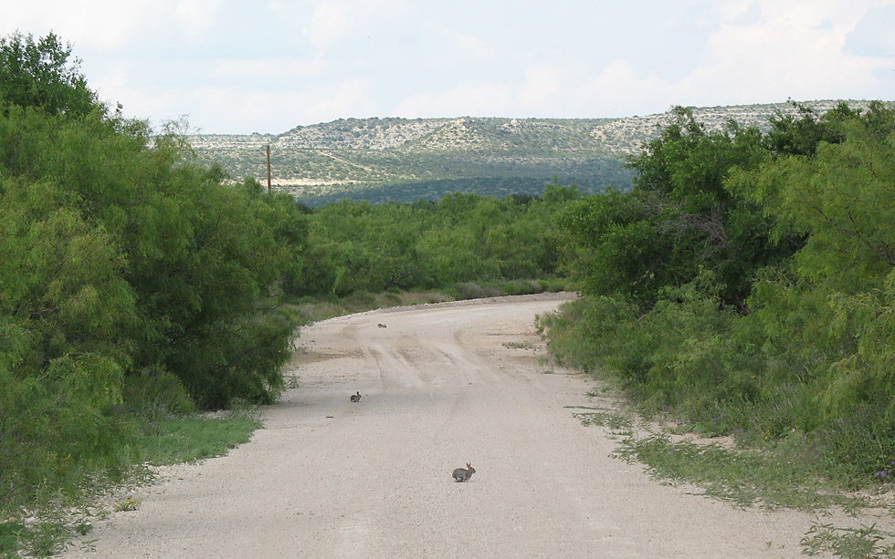
This area is infested with rabbits/hares. Here you can see 3 on the road. (2007-05-12)
(high resolution)
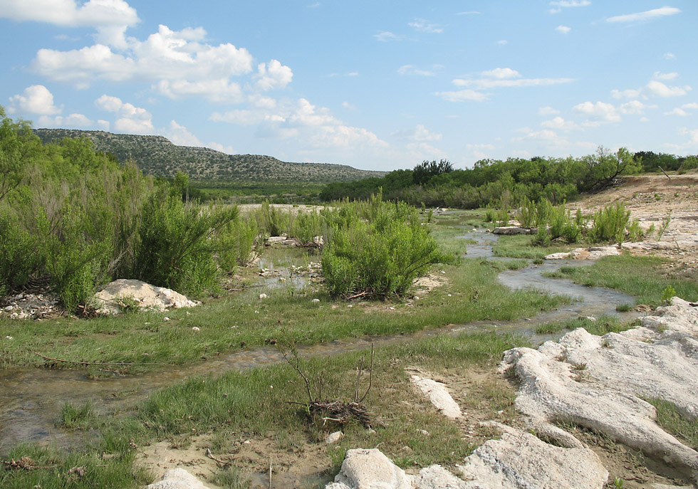
Due to recent rains a small creek was flowing. (2007-05-12)
Spring 2007 brought above-average rainfall to this area, breaking the drought that had afflicted the area for the previous two years.
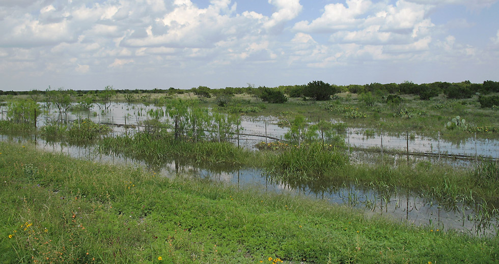
Here is a pond of water that formed along the road. (2007-05-12)
Back on the interstate east of Live Oak Road. (2007-05-12)
(high resolution)
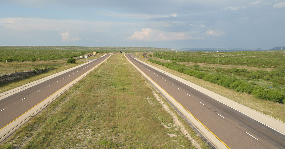
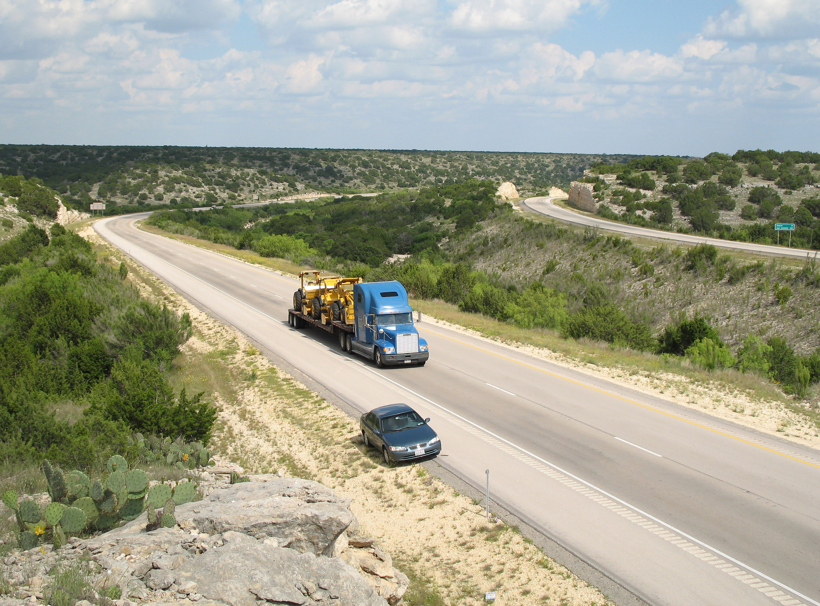
West of mile marker 342 the main lanes split. (2007-05-13)
Rock cut east of mile marker 342. (2007-05-13)

(high resolution)
This is just east of exit 343, highway 290. The highway main lanes separate to traverse the rugged area. (2007-05-12)
Near mile marker 346. (2007-05-12)